


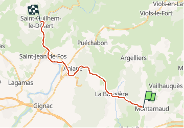
Montarnaud - St guilhem

RR31
User

Length
23 km

Max alt
261 m

Uphill gradient
357 m
Km-Effort
28 km

Min alt
46 m

Downhill gradient
400 m
Boucle
No
Creation date :
2014-12-10 00:00:00.0
Updated on :
2014-12-10 00:00:00.0
6h24
Difficulty : Medium

FREE GPS app for hiking
 SityTrail
IGN / Geographical institutes
SityTrail Plus
The world is yours!
About
Trail Walking of 23 km to be discovered at Occitania, Hérault, Montarnaud. This trail is proposed by RR31.
Description
st Jacques
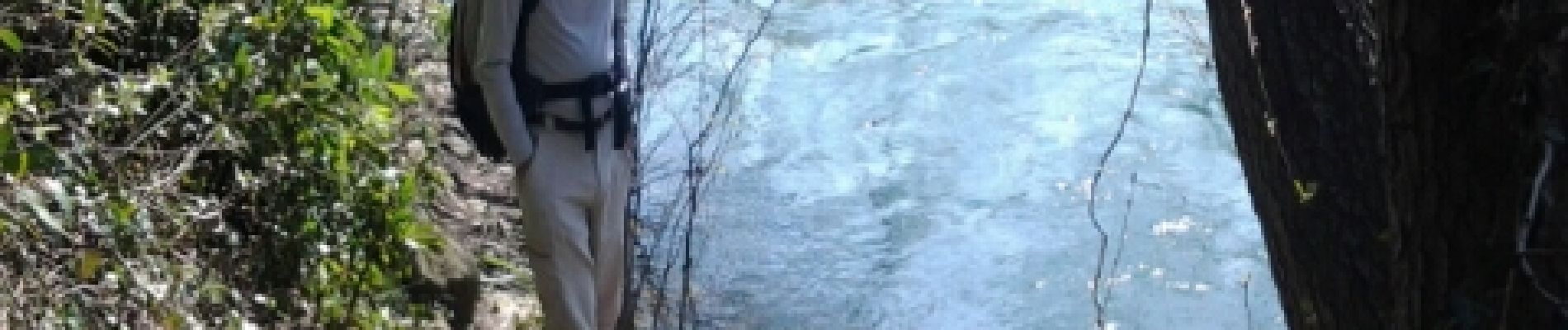
Photos


Positioning
Country:
France
Region :
Occitania
Department/Province :
Hérault
Municipality :
Montarnaud
Location:
Unknown
Start:(Dec)
Start:(UTM)
555372 ; 4833303 (31T) N.
Comments