


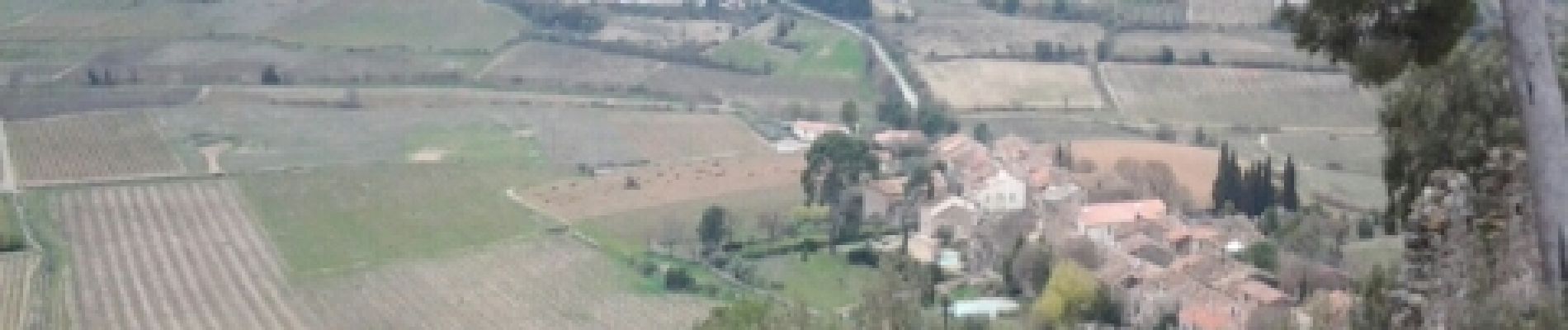
St guilhem - Montpeyroux

RR31
User
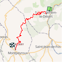

Length
13.4 km

Max alt
529 m

Uphill gradient
545 m
Km-Effort
21 km

Min alt
107 m

Downhill gradient
501 m
Boucle
No
Creation date :
2014-12-10 00:00:00.0
Updated on :
2014-12-10 00:00:00.0
--
Difficulty : Difficult

FREE GPS app for hiking
 SityTrail
IGN / Geographical institutes
SityTrail Plus
The world is yours!
About
Trail Walking of 13.4 km to be discovered at Occitania, Hérault, Saint-Guilhem-le-Désert. This trail is proposed by RR31.
Description
St Jacques
Photos


Positioning
Country:
France
Region :
Occitania
Department/Province :
Hérault
Municipality :
Saint-Guilhem-le-Désert
Location:
Unknown
Start:(Dec)
Start:(UTM)
544199 ; 4842462 (31T) N.
Comments