


fgj

tomtoo02
User

Length
271 km

Max alt
882 m

Uphill gradient
8453 m
Km-Effort
382 km

Min alt
21 m

Downhill gradient
7748 m
Boucle
No
Creation date :
2014-12-10 00:00:00.0
Updated on :
2014-12-10 00:00:00.0
57m
Difficulty : Unknown

FREE GPS app for hiking
 SityTrail
IGN / Geographical institutes
SityTrail Plus
The world is yours!
About
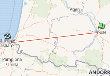
Trail Other activity of 271 km to be discovered at Occitania, Haute-Garonne, Toulouse. This trail is proposed by tomtoo02.
Positioning
Country:
France
Region :
Occitania
Department/Province :
Haute-Garonne
Municipality :
Toulouse
Location:
Unknown
Start:(Dec)
Start:(UTM)
374593 ; 4828101 (31T) N.
Comments