


Joncels - Le Bousquet d'Orb

RR31
User
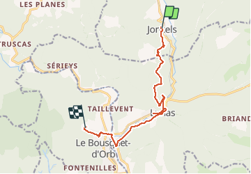

Length
13.1 km

Max alt
446 m

Uphill gradient
229 m
Km-Effort
16.3 km

Min alt
247 m

Downhill gradient
288 m
Boucle
No
Creation date :
2014-12-10 00:00:00.0
Updated on :
2014-12-10 00:00:00.0
3h40
Difficulty : Easy

FREE GPS app for hiking
 SityTrail
IGN / Geographical institutes
SityTrail Plus
The world is yours!
About
Trail Walking of 13.1 km to be discovered at Occitania, Hérault, Joncels. This trail is proposed by RR31.
Description
St Jacques
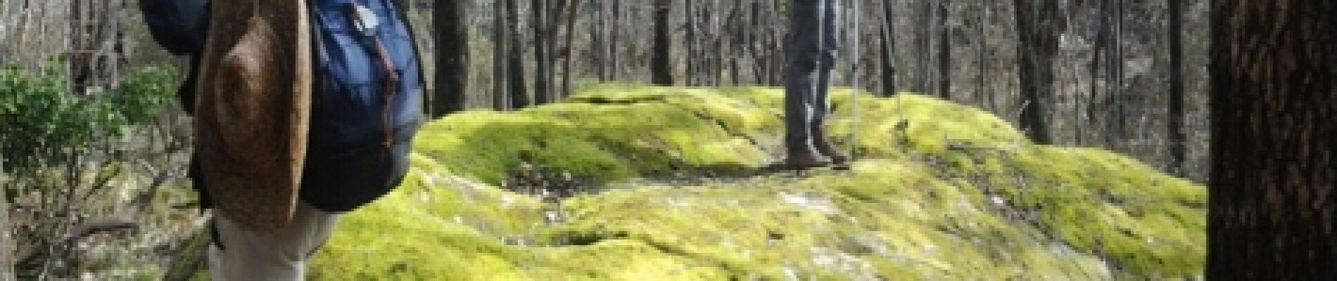
Photos


22 photos in total. Please click on a photo to see them all in the gallery.
Positioning
Country:
France
Region :
Occitania
Department/Province :
Hérault
Municipality :
Joncels
Location:
Unknown
Start:(Dec)
Start:(UTM)
515624 ; 4842793 (31T) N.
Comments