


Les Chapelles entre vignoble et canal

VacheKiri67
User
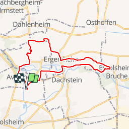

Length
14.8 km

Max alt
256 m

Uphill gradient
163 m
Km-Effort
17 km

Min alt
157 m

Downhill gradient
163 m
Boucle
Yes
Creation date :
2014-12-10 00:00:00.0
Updated on :
2014-12-10 00:00:00.0
3h43
Difficulty : Medium

FREE GPS app for hiking
 SityTrail
IGN / Geographical institutes
SityTrail Plus
The world is yours!
About
Trail Walking of 14.8 km to be discovered at Grand Est, Bas-Rhin, Molsheim. This trail is proposed by VacheKiri67.
Description
Distance 15,0km - Dénivelée 160m
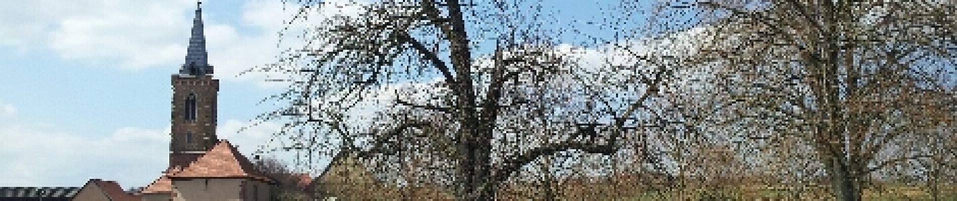
Les chapelles entre vignoble et canal
Balisage : anneau rouge.
Faite le 07/04/2013 en 4h30 (dont 0h20 de pause) avec notre fils de 8 ans.
Photos


Positioning
Country:
France
Region :
Grand Est
Department/Province :
Bas-Rhin
Municipality :
Molsheim
Location:
Unknown
Start:(Dec)
Start:(UTM)
389652 ; 5379237 (32U) N.
Comments
Merci pour ce partage. Randonnée magnifique et verdoyante.
Une très belle randonnée jalonnée par de nombreuses curiosités à faire au printemps.