


capdenac

xamax12
User
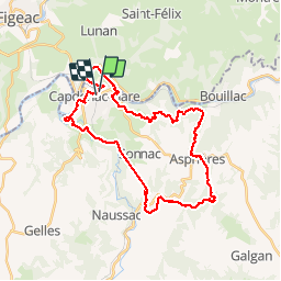

Length
34 km

Max alt
446 m

Uphill gradient
854 m
Km-Effort
45 km

Min alt
165 m

Downhill gradient
852 m
Boucle
Yes
Creation date :
2014-12-10 00:00:00.0
Updated on :
2014-12-10 00:00:00.0
4h13
Difficulty : Medium

FREE GPS app for hiking
 SityTrail
IGN / Geographical institutes
SityTrail Plus
The world is yours!
About
Trail Mountain bike of 34 km to be discovered at Occitania, Aveyron, Capdenac-Gare. This trail is proposed by xamax12.
Description
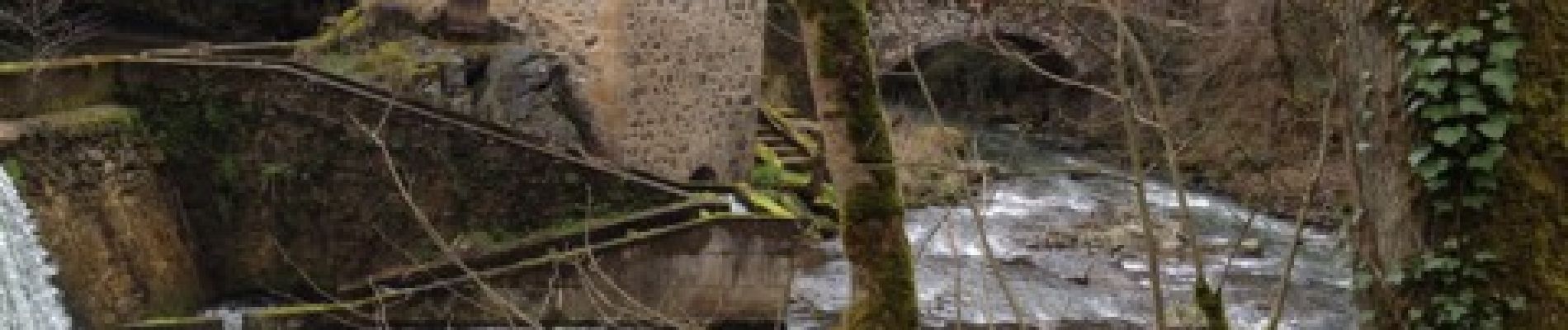
Capdenac
Photos


Positioning
Country:
France
Region :
Occitania
Department/Province :
Aveyron
Municipality :
Capdenac-Gare
Location:
Unknown
Start:(Dec)
Start:(UTM)
427248 ; 4936241 (31T) N.
Comments
Boucle Villeneuve St Rémy Les Cavaliers Pauty - Belle ballade difficulté moyenne.