


St Gervais - Murat

RR31
User
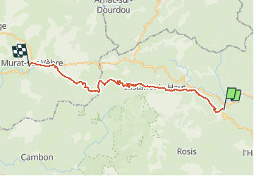

Length
26 km

Max alt
1024 m

Uphill gradient
952 m
Km-Effort
37 km

Min alt
330 m

Downhill gradient
445 m
Boucle
No
Creation date :
2014-12-10 00:00:00.0
Updated on :
2014-12-10 00:00:00.0
8h24
Difficulty : Difficult

FREE GPS app for hiking
 SityTrail
IGN / Geographical institutes
SityTrail Plus
The world is yours!
About
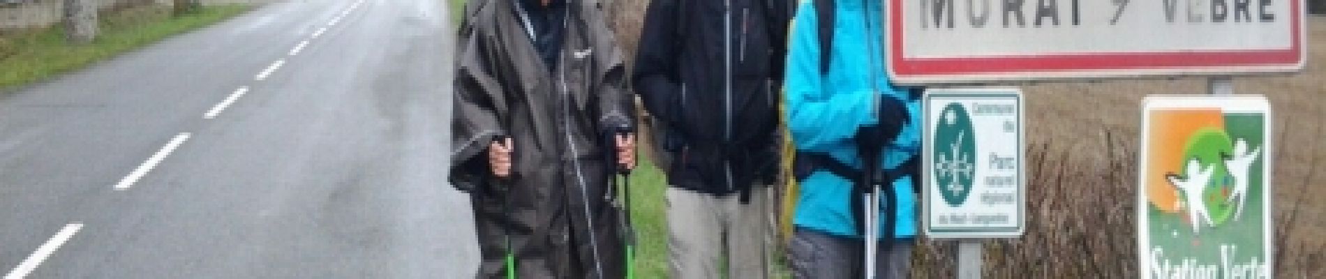
Trail Walking of 26 km to be discovered at Occitania, Hérault, Saint-Gervais-sur-Mare. This trail is proposed by RR31.
Description
St Jacques
Photos


Positioning
Country:
France
Region :
Occitania
Department/Province :
Hérault
Municipality :
Saint-Gervais-sur-Mare
Location:
Unknown
Start:(Dec)
Start:(UTM)
503259 ; 4833178 (31T) N.
Comments