


Angles - Boissezon

RR31
User
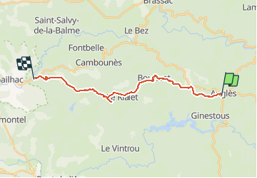

Length
22 km

Max alt
817 m

Uphill gradient
397 m
Km-Effort
29 km

Min alt
284 m

Downhill gradient
812 m
Boucle
No
Creation date :
2014-12-10 00:00:00.0
Updated on :
2014-12-10 00:00:00.0
--
Difficulty : Medium

FREE GPS app for hiking
 SityTrail
IGN / Geographical institutes
SityTrail Plus
The world is yours!
About
Trail Walking of 22 km to be discovered at Occitania, Tarn, Anglès. This trail is proposed by RR31.
Description
St Jacques
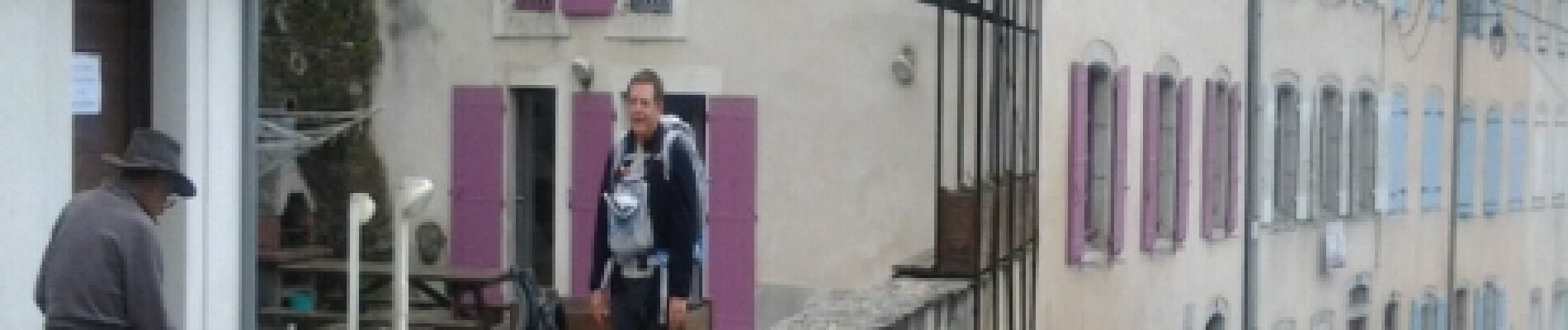
Photos


Positioning
Country:
France
Region :
Occitania
Department/Province :
Tarn
Municipality :
Anglès
Location:
Unknown
Start:(Dec)
Start:(UTM)
464348 ; 4823347 (31T) N.
Comments