


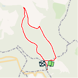

13.5 km | 19.2 km-effort


User


FREE GPS app for hiking
 SityTrail
IGN / Geographical institutes
SityTrail World
The world is yours!
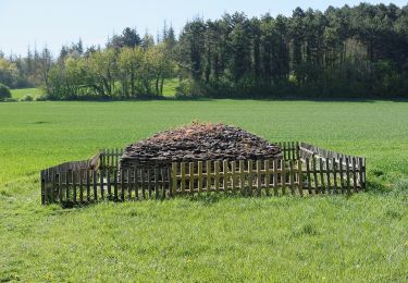
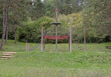
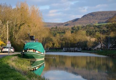
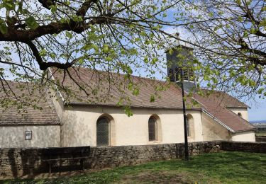
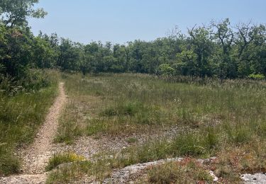
Trail Walking of 7.1 km to be discovered at Bourgogne-Franche-Comté, Côte-d'Or, Plombières-lès-Dijon. This trail is proposed by noblet.yves.
Forêt domaniale de plombières
Walking
Walking
Walking
On foot
On foot
On foot
On foot

Walking
Walking