


Malaire

sklada
User
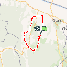

Length
11.3 km

Max alt
412 m

Uphill gradient
282 m
Km-Effort
15 km

Min alt
163 m

Downhill gradient
278 m
Boucle
Yes
Creation date :
2014-12-10 00:00:00.0
Updated on :
2014-12-10 00:00:00.0
3h51
Difficulty : Easy

FREE GPS app for hiking
 SityTrail
IGN / Geographical institutes
SityTrail Plus
The world is yours!
About
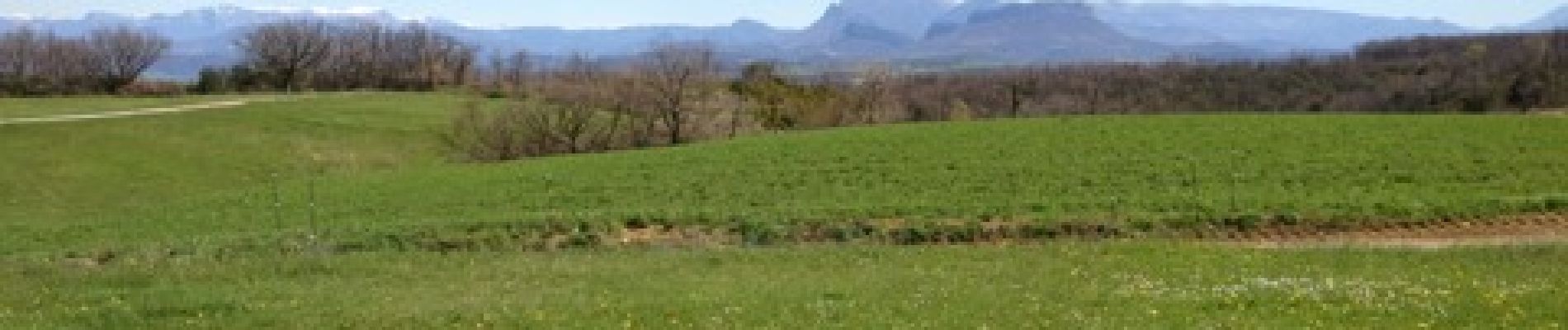
Trail Walking of 11.3 km to be discovered at Auvergne-Rhône-Alpes, Drôme, Grane. This trail is proposed by sklada.
Photos


Positioning
Country:
France
Region :
Auvergne-Rhône-Alpes
Department/Province :
Drôme
Municipality :
Grane
Location:
Unknown
Start:(Dec)
Start:(UTM)
650888 ; 4953403 (31T) N.
Comments