


Revel - Les Cassés

RR31
User


Length
22 km

Max alt
259 m

Uphill gradient
163 m
Km-Effort
24 km

Min alt
209 m

Downhill gradient
130 m
Boucle
No
Creation date :
2014-12-10 00:00:00.0
Updated on :
2014-12-10 00:00:00.0
1m
Difficulty : Medium

FREE GPS app for hiking
 SityTrail
IGN / Geographical institutes
SityTrail Plus
The world is yours!
About
Trail Walking of 22 km to be discovered at Occitania, Haute-Garonne, Revel. This trail is proposed by RR31.
Description
St Jacques
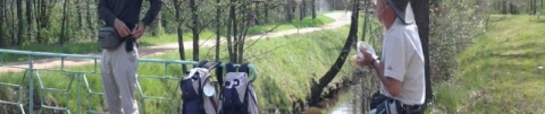
Photos


21 photos in total. Please click on a photo to see them all in the gallery.
Positioning
Country:
France
Region :
Occitania
Department/Province :
Haute-Garonne
Municipality :
Revel
Location:
Unknown
Start:(Dec)
Start:(UTM)
419562 ; 4812148 (31T) N.
Comments