


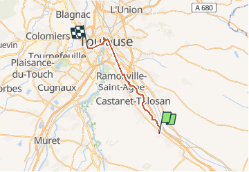
Donneville -Toulouse

RR31
User

Length
31 km

Max alt
174 m

Uphill gradient
232 m
Km-Effort
34 km

Min alt
129 m

Downhill gradient
260 m
Boucle
No
Creation date :
2014-12-10 00:00:00.0
Updated on :
2014-12-10 00:00:00.0
--
Difficulty : Medium

FREE GPS app for hiking
 SityTrail
IGN / Geographical institutes
SityTrail Plus
The world is yours!
About
Trail Walking of 31 km to be discovered at Occitania, Haute-Garonne, Donneville. This trail is proposed by RR31.
Description
St Jacques
Photos


Positioning
Country:
France
Region :
Occitania
Department/Province :
Haute-Garonne
Municipality :
Donneville
Location:
Unknown
Start:(Dec)
Start:(UTM)
382681 ; 4814059 (31T) N.
Comments