Trail Walking Houffalize -  - Photo

Escapardenne, évadez-vous du quotidien GUIDE+

© OpenStreetMap contributors
Length
Length
17.6 km
Max alt
Max alt
616 m
Uphill gradient
Uphill gradient
298 m
Km-Effort
Km-Effort  
22 km
Min alt
Min alt
384 m
Downhill gradient
Downhill gradient
415 m
Boucle
Boucle
No
Creation date :
2014-12-10 00:00:00.0
Updated on :
2014-12-10 00:00:00.0

(0 Reviews)

Walking
Walking
--
Difficulty : Unknown

Scan this QR Code to open this trail in the SityTrail application

FREE GPS app for hiking

Logo SityTrail SityTrail

IGN / Geographical institutes

Download SityTrail from the App Store Download SityTrail from Google Play

Logo SityTrail SityTrail World

The world is yours!

Download SityTrail from the App Store Download SityTrail from Google Play Download SityTrail on Huawei AppGallery

About

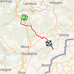
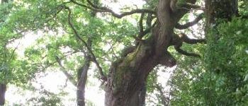
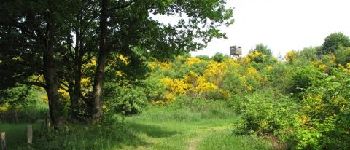
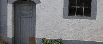
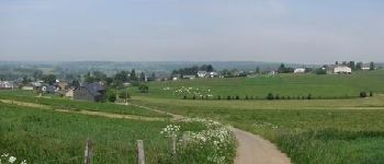
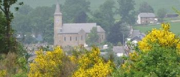
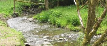
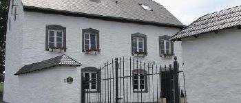
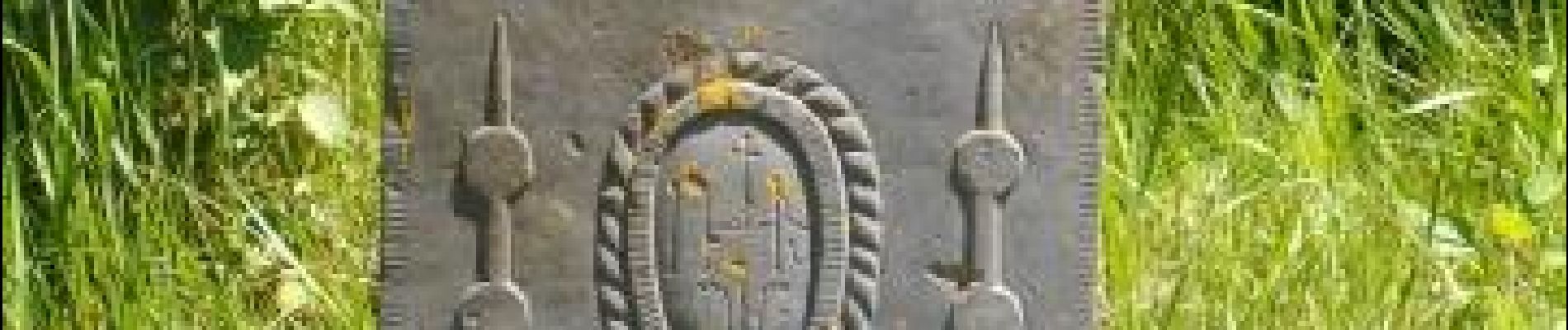
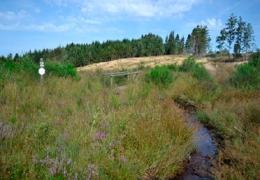
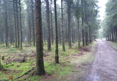
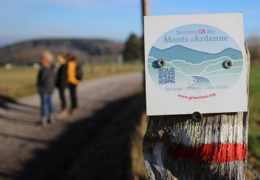
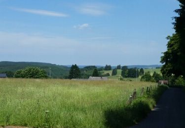
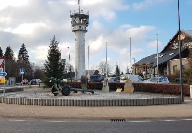
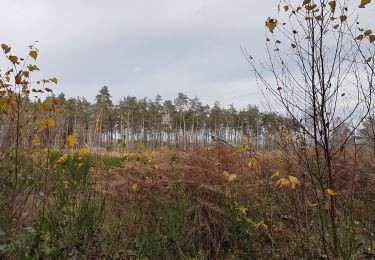
Trail Walking of 17.6 km to be discovered at Wallonia, Luxembourg, Houffalize. This trail is proposed by Escapardenne.

Elevation profile

Photos

Points of interest

Point of interest Houffalize - Les Tailles - Colas - Photo
Escapardenne
Point of interest Houffalize - Traversée de l'autoroute des Ardennes - Photo
Escapardenne
Point of interest Gouvy - La Rouge Fagne - Photo
Escapardenne
Point of interest Gouvy - Le crawé chêne - Photo
Escapardenne
Point of interest Gouvy - Cherain - Photo
Escapardenne
GOUVY 
Point of interest Gouvy - Le Fonteny - Photo
Escapardenne
GOUVY 
Point of interest Gouvy - Rettigny - Photo
Escapardenne
GOUVY 
Point of interest Gouvy - L'Ourthe - Photo
Escapardenne
GOUVY 
Point of interest Gouvy - Steinbach - Photo
Escapardenne
GOUVY 

Positioning

Country:
Belgium
Region :
Wallonia
Department/Province :
Luxembourg
Municipality :
Houffalize
Location:
Tailles
Start:(UTM)
695986 ; 5567027 (31U) N.

Trails nearby

Trail Walking Manhay - Odeigne, Natura 2000 - Des sites qui valent le détour. Lx10 - Photo
Walking
GUIDE+

Walking

Easy
(4)
Manhay, Wallonia, Luxembourg, Belgium
8.8 km | 10.9 km-effort
2h 23min
Yes
Trail Walking Vielsalm - Promenade de la Fagne Sacrawé  - Photo
Walking
GUIDE+

Walking

Medium
(10)
Vielsalm, Wallonia, Luxembourg, Belgium
6.1 km | 7.3 km-effort
1h 39min
Yes
Trail Walking Vielsalm - baraque fraiture . rocher du diable . vallée de la géhe . la fondroule  . Thier de la forge . las des cignes grognons . fraiture . baraque fraiture  - Photo
Walking
stef789

Walking

Very easy
(2)
Vielsalm, Wallonia, Luxembourg, Belgium
12.1 km | 16.5 km-effort
3h 24min
Yes
Trail Walking Vielsalm - Fraiture - Lierneux - Fraiture - Photo
Walking
StevenKeppens

Walking

Medium
(2)
Vielsalm, Wallonia, Luxembourg, Belgium
14 km | 18.5 km-effort
3h 56min
Yes
Trail Walking Vielsalm - BARAQUE de FRAITURE (Sacrawé) - Photo
Walking
GerardBouche

Walking

Easy
Vielsalm, Wallonia, Luxembourg, Belgium
11.4 km | 14.3 km-effort
3h 5min
Yes
Trail On foot Vielsalm - Fraiture rouge - Photo
On foot
PRO

On foot

Easy
Vielsalm, Wallonia, Luxembourg, Belgium
10.4 km | 12.3 km-effort
2h 47min
No
Trail Walking Vielsalm - Baraque Fraiture  - Photo
Walking
GUIDE
mumu.larandonneuse

Walking

Easy
(1)
Vielsalm, Wallonia, Luxembourg, Belgium
15.3 km | 18.8 km-effort
3h 5min
Yes
Trail Walking Manhay - ADEPS2014-5KM - Photo
Walking
InediChrono

Walking

Medium
(1)
Manhay, Wallonia, Luxembourg, Belgium
5.9 km | 8.4 km-effort
Unknown
Yes
Trail Walking Manhay - Odeigne 540m schaduw van Baraque de Fraiture - 6 km RT - Photo
Walking
wandelroutes

Walking

Very easy
(1)
Manhay, Wallonia, Luxembourg, Belgium
5.7 km | 8 km-effort
Unknown
Yes


Close
My subscriptions