


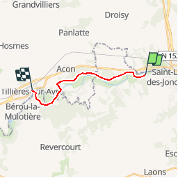
Saint Lubin des Joncherets / Tillières sur Avre (28)

olivier28350
User


2h53
Difficulty : Very easy

FREE GPS app for hiking
 SityTrail
IGN / Geographical institutes
SityTrail Plus
The world is yours!
About
Trail Walking of 11.2 km to be discovered at Centre-Loire Valley, Eure-et-Loir, Saint-Lubin-des-Joncherets. This trail is proposed by olivier28350.
Description
Randonnée linéaire des étangs des Saint Lubin des Joncherets à l'église de Tillières sur Avre.
Relief nul, mis a part un passage sur 20m.
Cet itinéraire suit le GR22.
Idéal pour enfants à partir de 6 ans.
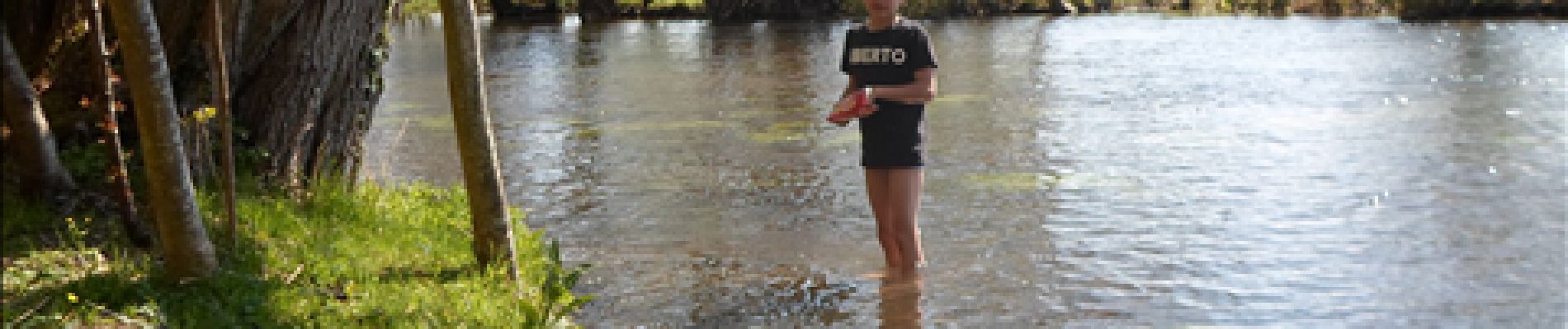
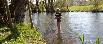
Particularité : point pour tremper les pieds dans la rivière.
Photos
 - Photo 1")

Positioning
Comments
Promenade sympathique au bord de l'eau, sur terrain plat dans l'ensemble. Familiale.
Belle promenade accessible à tous, soleil et ombre, loin de la circulation