


vatillieu

bpc
User
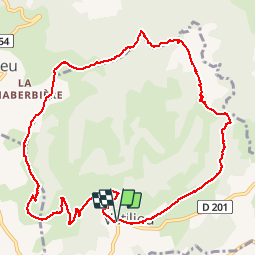

Length
12.1 km

Max alt
778 m

Uphill gradient
445 m
Km-Effort
18.1 km

Min alt
444 m

Downhill gradient
443 m
Boucle
Yes
Creation date :
2014-12-10 00:00:00.0
Updated on :
2014-12-10 00:00:00.0
3h33
Difficulty : Medium

FREE GPS app for hiking
 SityTrail
IGN / Geographical institutes
SityTrail Plus
The world is yours!
About
Trail Walking of 12.1 km to be discovered at Auvergne-Rhône-Alpes, Isère, Vatilieu. This trail is proposed by bpc.
Description
randonnée verte
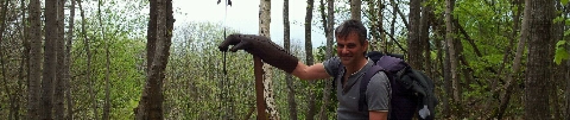
Photos


Positioning
Country:
France
Region :
Auvergne-Rhône-Alpes
Department/Province :
Isère
Municipality :
Vatilieu
Location:
Unknown
Start:(Dec)
Start:(UTM)
688975 ; 5014250 (31T) N.
Comments