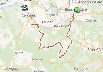

9.9 km | 14.2 km-effort

User


FREE GPS app for hiking
 SityTrail
IGN / Geographical institutes
SityTrail World
The world is yours!
Trail Walking of 31 km to be discovered at Occitania, Lot, Bretenoux. This trail is proposed by tracegps.
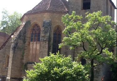
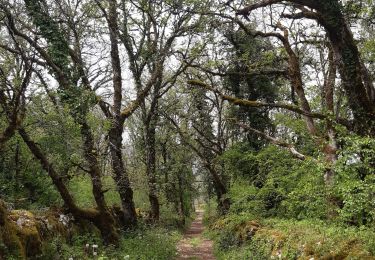
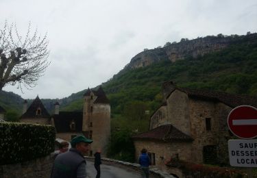
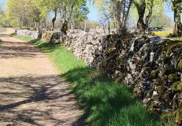
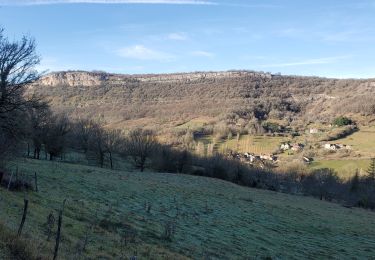
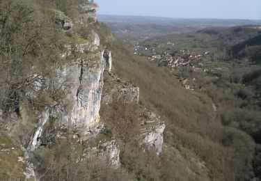
Etape 16 de la via Arverna, chemin de Saint Jacques de Compostelle entre Clermont-Ferrand et Cahors. Probablement l’une des étapes les plus intéressantes du parcours. Une partie de ce chemin n’a pas été empruntée pour des raisons de planning. Ce parcours est jalonné de curiosités telles que le gouffre de Padirac et de plusieurs villages remarquables (Loubressac, Autoire et Carennac). Bref, une journée n’est pas suffisante pour tout visiter. Vous quitterez la rivière de la Cère présente depuis l’étape de Saint-Jacques-des-Blats pour rallier la Dordogne. Retrouvez l'étape n° 16 sur le site de la «Via Arverna - chemin Saint-Jacques-de-Compostelle» ainsi qu'ICI sur le site de la « Via Arverna ».
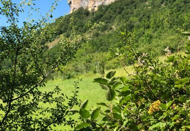
 - Photo 1")
 - Photo 2")
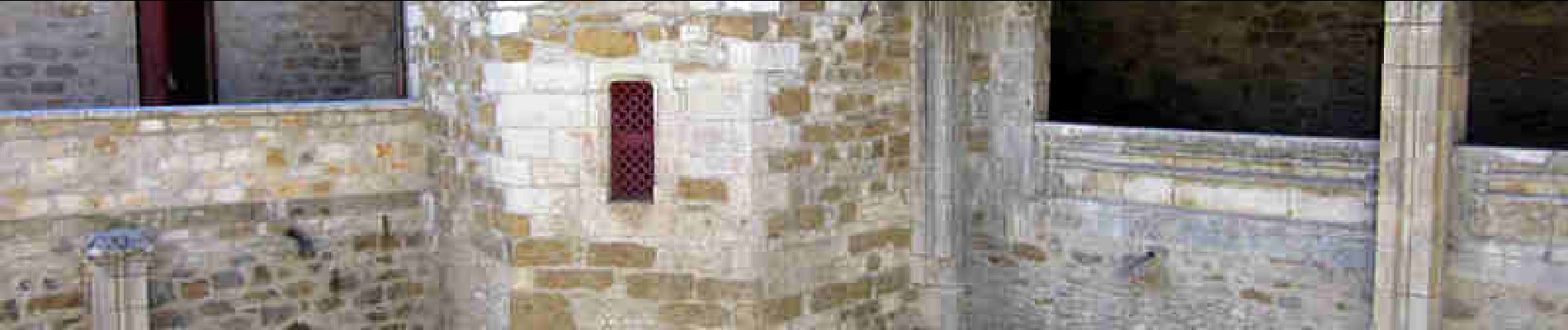
 - Photo 3")
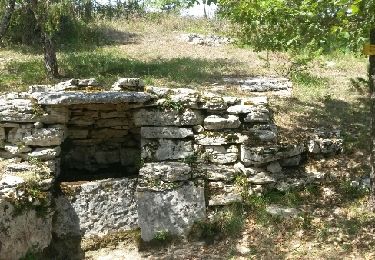
 - Photo 4")
Walking
Walking
Walking

Walking
Walking
On foot