


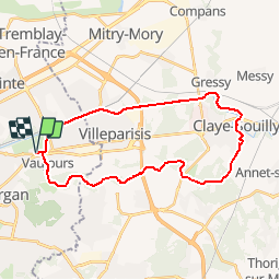

10.3 km | 11.9 km-effort

User


FREE GPS app for hiking
 SityTrail
IGN / Geographical institutes
SityTrail World
The world is yours!
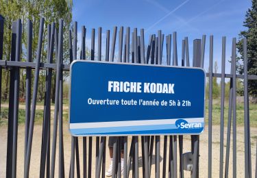
Trail Walking of 28 km to be discovered at Ile-de-France, Seine-Saint-Denis, Vaujours. This trail is proposed by tracegps.
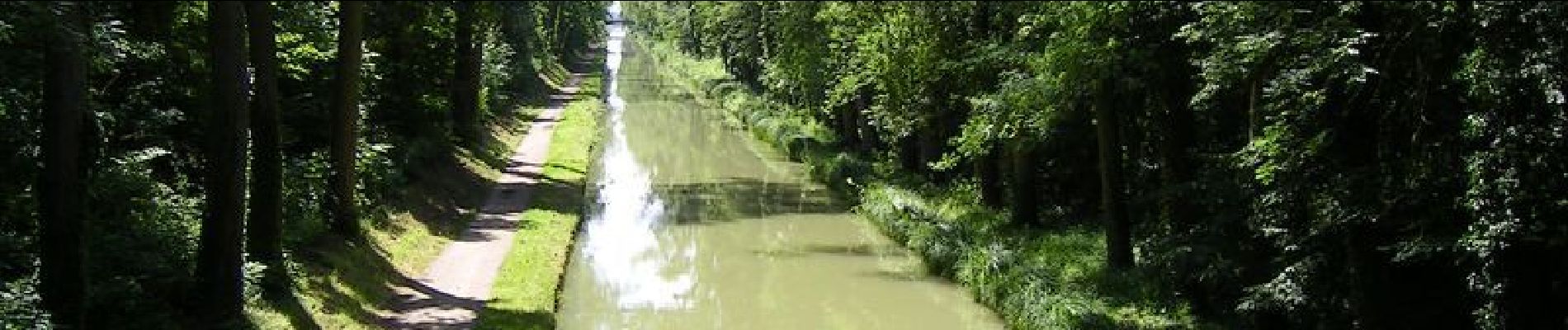
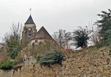
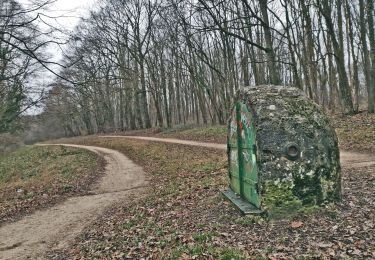
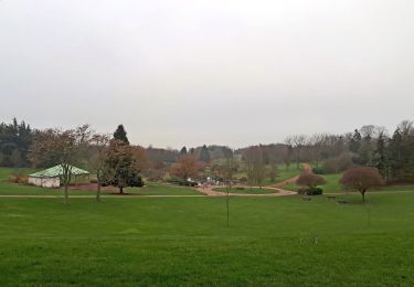
En partant du très agréable Parc National de Sevan, le parcours longe l'Aqueduc de la Dhuis qui surplombe une variété de paysages: des champs, des clairières, la ligne du TGV Est et la Francilienne... Puis descente par la ville de Claye Souilly et retour par le canal de l'Ourq magnifiquement arboré en toute saison.


Walking
Walking

Walking
Walking
Walking
Walking

Other activity
Walking
Walking