


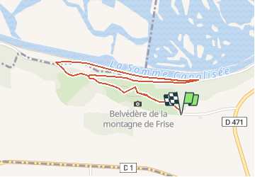

11.2 km | 13.2 km-effort

User


FREE GPS app for hiking
 SityTrail
IGN / Geographical institutes
SityTrail World
The world is yours!
Trail Walking of 2.2 km to be discovered at Hauts-de-France, Somme, Frise. This trail is proposed by tracegps.
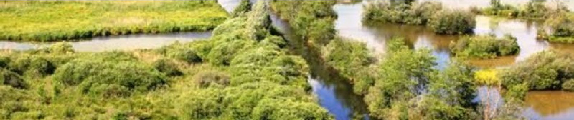
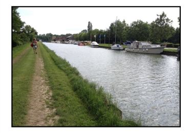
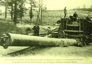
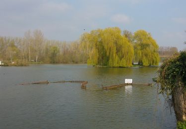
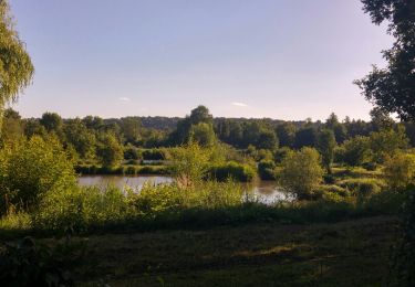
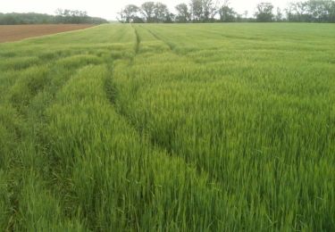
Découvrez le panorama magnifique qu’offre la montagne de Frise et baladez-vous sur ce site naturel riche en histoire et nature ! La montagne de Frise se trouve sur les pelouses calcicoles de la Haute Somme. Hébergeant une nature riche et originale, ce site géré par le Conservatoire d’espaces naturels de Picardie dresse fièrement sa falaise crayeuse pour offrir un panorama exceptionnel sur les étangs et marais de la Haute Vallée de la Somme. Un parcours nature et culture, chargé d’histoire. Téléchargez la fiche du circuit.


Walking
Walking
Walking

Other activity

Walking

Walking
Walking

Walking
belle randonnée