


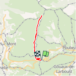

9.9 km | 18.4 km-effort

User


FREE GPS app for hiking
 SityTrail
IGN / Geographical institutes
SityTrail World
The world is yours!
Trail Snowshoes of 11.6 km to be discovered at Occitania, Haute-Garonne, Garin. This trail is proposed by tracegps.
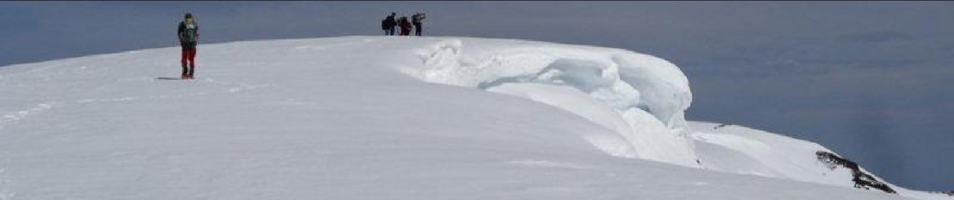
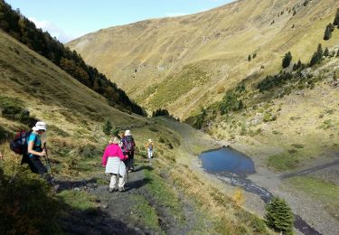
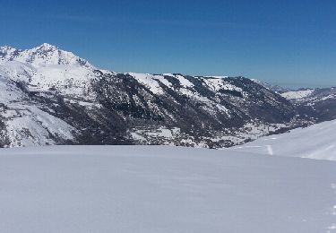
Départ du Col de Peyresourde. On monte dans la forêt domaniale, puis on enchaîne le Pic Arrouy, le Cap de Hont Nère, le Sommet de Pouyaué pour aboutir au sommet de l'Aigle à 2078 m. Randonnée exigeante car sur une crête où les montées et descentes (dans les deux sens) s’enchaînent. En haut, beau belvédère pour une vue à 360 ° sur les sommets, du Luchonais aux Hautes-Pyrénées. On peut également admirer le massif de la Maladeta avec l'Aneto et son glacier.


Walking

Walking

Walking
Walking
Snowshoes
Walking
Walking
Walking
Walking