Trail Walking Lachaux - Le Rez de Sol et la Pierre du Sang  - Lachaux - Photo

Le Rez de Sol et la Pierre du Sang - Lachaux

 tracegps
tracegps

User

© OpenStreetMap contributors
Length
Length
11.4 km
Max alt
Max alt
931 m
Uphill gradient
Uphill gradient
464 m
Km-Effort
Km-Effort  
17.6 km
Min alt
Min alt
582 m
Downhill gradient
Downhill gradient
466 m
Boucle
Boucle
Yes
Creation date :
2014-12-10 00:00:00.0
Updated on :
2014-12-10 00:00:00.0

(0 Reviews)

Walking
Walking
2h40
Difficulty : Medium

Scan this QR Code to open this trail in the SityTrail application

FREE GPS app for hiking

Logo SityTrail SityTrail

IGN / Geographical institutes

Download SityTrail from the App Store Download SityTrail from Google Play

Logo SityTrail SityTrail World

The world is yours!

Download SityTrail from the App Store Download SityTrail from Google Play Download SityTrail on Huawei AppGallery

About

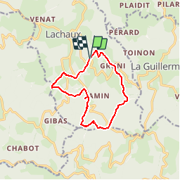
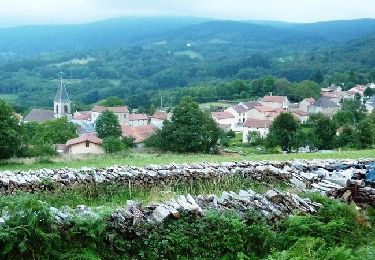
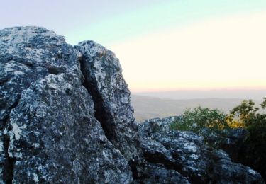
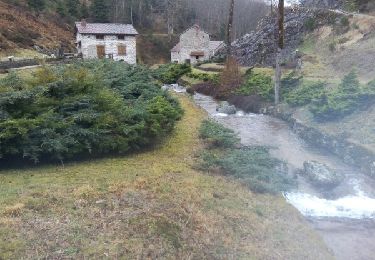
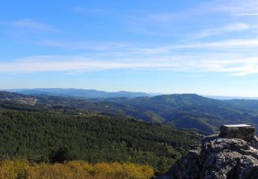
Trail Walking of 11.4 km to be discovered at Auvergne-Rhône-Alpes, Puy-de-Dôme, Lachaux. This trail is proposed by tracegps.

Description

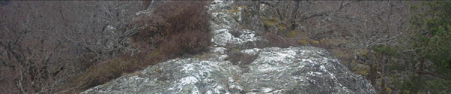
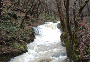
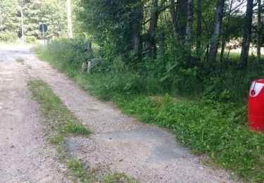
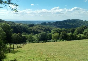
Parking au lieu-dit Murat à 1,5 km au Sud-Est de Lachaux (63). Parcours balisé (trait jaune). Beaucoup de roches à cupules et pierres en équilibres les unes sur les autres à voir le long du parcours, notamment la pierre de sang ou pierre des sacrifices humains (légende). Vue 360° au sommet du Rez de Sol. Un autre internaute propose avec le circuit 11454 , une autre version du circuit.

Elevation profile

Photos

Positioning

Country:
France
Region :
Auvergne-Rhône-Alpes
Department/Province :
Puy-de-Dôme
Municipality :
Lachaux
Location:
Unknown
Start:(UTM)
546913 ; 5092711 (31T) N.

Trails nearby

Trail Walking Ferrières-sur-Sichon - Balade autour de Ferrières sur Sichon - Photo
Walking
tracegps

Walking

Medium
(1)
Ferrières-sur-Sichon, Auvergne-Rhône-Alpes, Allier, France
7.4 km | 10.8 km-effort
2h 15min
Yes
Trail On foot Lachaux - Le Rez de Sol - Photo
On foot
PRO

On foot

Easy
Lachaux, Auvergne-Rhône-Alpes, Puy-de-Dôme, France
10.7 km | 16.8 km-effort
3h 49min
Yes
Trail Other activity Lachaux - Rez de.Sol - Photo
Other activity
cirilb

Other activity

Very easy
(1)
Lachaux, Auvergne-Rhône-Alpes, Puy-de-Dôme, France
22 km | 31 km-effort
8h 23min
Yes
Trail Mountain bike La Guillermie - Les Moulins au creux des vallées du Terrasson et du Theux - La Guillermie - Photo
Mountain bike
tracegps

Mountain bike

Very difficult
La Guillermie, Auvergne-Rhône-Alpes, Allier, France
42 km | 61 km-effort
4h 15min
Yes
Trail Walking Lachaux - Autour du Rez de Sol - Lachaux - Photo
Walking
tracegps

Walking

Difficult
Lachaux, Auvergne-Rhône-Alpes, Puy-de-Dôme, France
10.9 km | 17 km-effort
3h 0min
Yes
Trail Other activity Lachaux - lachaux - Photo
Other activity
cirilb

Other activity

Very easy
Lachaux, Auvergne-Rhône-Alpes, Puy-de-Dôme, France
21 km | 30 km-effort
5h 37min
Yes
Trail Walking Lachaux - Lachaux_Rez_Sol_2 - Photo
Walking
GUIDE
jagarnier

Walking

Medium
Lachaux, Auvergne-Rhône-Alpes, Puy-de-Dôme, France
10.7 km | 16.8 km-effort
3h 28min
Yes
Trail Walking Lachaux - Lachaux_Rez_Sol_1 - Photo
Walking
GUIDE
jagarnier

Walking

Medium
Lachaux, Auvergne-Rhône-Alpes, Puy-de-Dôme, France
10.7 km | 16.8 km-effort
3h 28min
Yes
Trail Walking La Guillermie - La guillermie - les couteliers / le rocher des Cheirs - Photo
Walking
coco03

Walking

Medium
La Guillermie, Auvergne-Rhône-Alpes, Allier, France
12.6 km | 18.6 km-effort
4h 4min
Yes


Close
My subscriptions