Trail Walking Payzac - Le sentier des Chanels - Payzac - Photo

Le sentier des Chanels - Payzac

 tracegps
tracegps

User

© OpenStreetMap contributors
Length
Length
4 km
Max alt
Max alt
445 m
Uphill gradient
Uphill gradient
117 m
Km-Effort
Km-Effort  
5.6 km
Min alt
Min alt
353 m
Downhill gradient
Downhill gradient
121 m
Boucle
Boucle
Yes
Creation date :
2014-12-10 00:00:00.0
Updated on :
2014-12-10 00:00:00.0

(1 Reviews)

Walking
Walking
1h00
Difficulty : Medium

Scan this QR Code to open this trail in the SityTrail application

FREE GPS app for hiking

Logo SityTrail SityTrail

IGN / Geographical institutes

Download SityTrail from the App Store Download SityTrail from Google Play

Logo SityTrail SityTrail World

The world is yours!

Download SityTrail from the App Store Download SityTrail from Google Play Download SityTrail on Huawei AppGallery

About

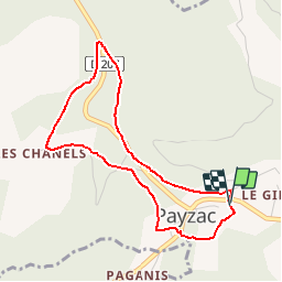
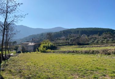
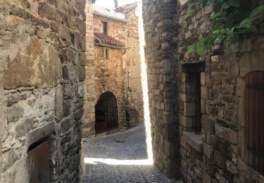
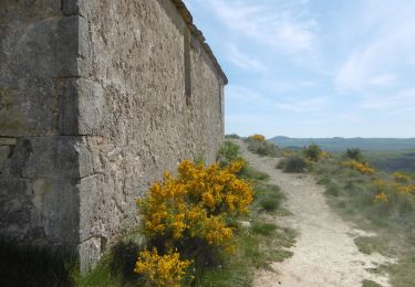
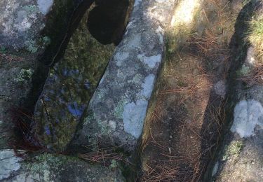
Trail Walking of 4 km to be discovered at Auvergne-Rhône-Alpes, Ardèche, Payzac. This trail is proposed by tracegps.

Description

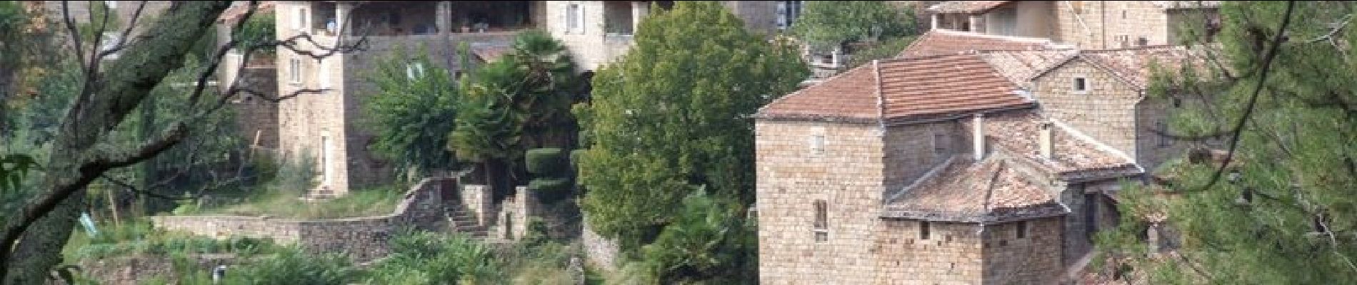
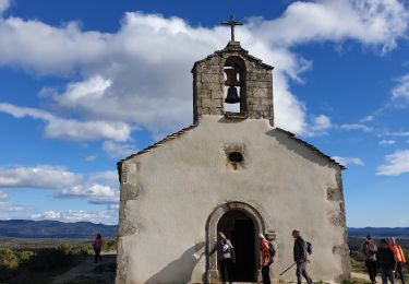
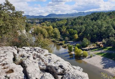
Promenade proposée par le Topo Guide Ardèche. Départ de la place de la salle polyvalente de Payzac. Agréable promenade qui vous fera découvrir les alentours de ce petit village d'Ardèche à travers bois et sentiers.

Elevation profile

Photos

Positioning

Country:
France
Region :
Auvergne-Rhône-Alpes
Department/Province :
Ardèche
Municipality :
Payzac
Location:
Unknown
Start:(UTM)
591416 ; 4922698 (31T) N.

Comments

Please log in to post a review or rate the element


Trails nearby

Trail Walking Lablachère - planzolle  - Photo
Walking
marquet

Walking

Very easy
(1)
Lablachère, Auvergne-Rhône-Alpes, Ardèche, France
10.7 km | 14.1 km-effort
3h 50min
Yes
Trail Walking Gravières - La gravières chemin de Baptistou  - Photo
Walking
GUIDE
antignacs

Walking

Very easy
Gravières, Auvergne-Rhône-Alpes, Ardèche, France
4.3 km | 6.7 km-effort
2h 2min
Yes
Trail Walking Les Assions - SityTrail - Boucle des Assions - Chapelle Ste.Appolonie - Photo
Walking
ganinette

Walking

Medium
Les Assions, Auvergne-Rhône-Alpes, Ardèche, France
6.5 km | 9.4 km-effort
2h 8min
Yes
Trail Walking Berrias-et-Casteljau - Casteljau-Chaulet - Photo
Walking
ganinette

Walking

Medium
Berrias-et-Casteljau, Auvergne-Rhône-Alpes, Ardèche, France
6.9 km | 9.5 km-effort
2h 9min
Yes
Trail Walking Gravières - Gravières / le Chassezac - Photo
Walking
GUIDE
nadinebondoux

Walking

Medium
Gravières, Auvergne-Rhône-Alpes, Ardèche, France
13.3 km | 19.6 km-effort
5h 19min
Yes
Trail Walking Gravières - Gravières - Photo
Walking
GUIDE
Roger Philippe Wallez

Walking

Difficult
Gravières, Auvergne-Rhône-Alpes, Ardèche, France
13 km | 19.4 km-effort
5h 16min
Yes
Trail Walking Les Vans - Naves vallée ganiere - Photo
Walking
GUIDE
Roger Philippe Wallez

Walking

Difficult
Les Vans, Auvergne-Rhône-Alpes, Ardèche, France
20 km | 34 km-effort
7h 55min
No
Trail Walking Les Assions - Boucle des Assions - Chapelle Ste.Appolonie - Photo
Walking
rigol05

Walking

Medium
Les Assions, Auvergne-Rhône-Alpes, Ardèche, France
8.9 km | 13 km-effort
2h 58min
Yes
Trail Walking Ribes - Ribes - Photo
Walking
GUIDE
antignacs

Walking

Very easy
Ribes, Auvergne-Rhône-Alpes, Ardèche, France
14.9 km | 21 km-effort
6h 13min
Yes


Close
My subscriptions