


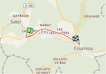


15.4 km | 23 km-effort


User


FREE GPS app for hiking
 SityTrail
IGN / Geographical institutes
SityTrail World
The world is yours!
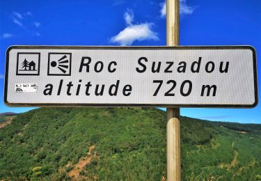
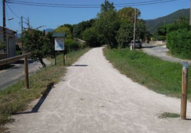
Trail Walking of 3.7 km to be discovered at Occitania, Hérault, Courniou. This trail is proposed by dede34.
Première promenade avec cette fabuleuse application, donc je découvre pour la première fois.
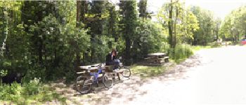
Tronçon de la voie verte De Courniou a l'entrer du tunnel de la Fenille.


On foot
Walking

Mountain bike
Walking
Trail

Mountain bike
Mountain bike

Trail
Walking