


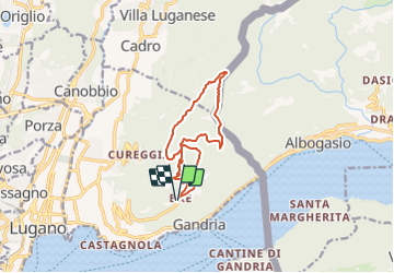
TI / brè - monte boglia - alpe bolla - brè

denisewanderige
User

Length
11.9 km

Max alt
1497 m

Uphill gradient
772 m
Km-Effort
22 km

Min alt
785 m

Downhill gradient
772 m
Boucle
Yes
Creation date :
2014-12-11 00:00:00.0
Updated on :
2014-12-11 00:00:00.0
--
Difficulty : Unknown

FREE GPS app for hiking
 SityTrail
IGN / Geographical institutes
SityTrail Plus
The world is yours!
About
Trail Other activity of 11.9 km to be discovered at Ticino, Distretto di Lugano, Lugano. This trail is proposed by denisewanderige.
Description
Details (Wanderbeschrieb, Fotos, Dauer, Links, usw.) siehe unter:
http://www.wanderige.ch/wanderige_toure/2003-2005/bre/bre.htm
Positioning
Country:
Switzerland
Region :
Ticino
Department/Province :
Distretto di Lugano
Municipality :
Lugano
Location:
Circolo di Lugano est
Start:(Dec)
Start:(UTM)
499685 ; 5095279 (32T) N.
Comments