


GR / davoser 2. tag

denisewanderige
User
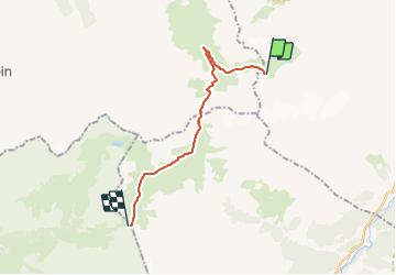

Length
15.5 km

Max alt
2620 m

Uphill gradient
873 m
Km-Effort
27 km

Min alt
2001 m

Downhill gradient
794 m
Boucle
No
Creation date :
2014-12-11 00:00:00.0
Updated on :
2014-12-11 00:00:00.0
--
Difficulty : Unknown

FREE GPS app for hiking
 SityTrail
IGN / Geographical institutes
SityTrail Plus
The world is yours!
About
Trail Other activity of 15.5 km to be discovered at Grisons, Region Engiadina Bassa/Val Müstair, Zernez. This trail is proposed by denisewanderige.
Description
Details (Wanderbeschrieb, Fotos, Dauer, Links, usw.) siehe unter:
http://www.wanderige.ch/wanderige_toure/2007/schwarzhorn2/schwarzhorn2.html
Positioning
Country:
Switzerland
Region :
Grisons
Department/Province :
Region Engiadina Bassa/Val Müstair
Municipality :
Zernez
Location:
Unknown
Start:(Dec)
Start:(UTM)
573428 ; 5173392 (32T) N.
Comments