


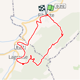


17.7 km | 25 km-effort


User


FREE GPS app for hiking
 SityTrail
IGN / Geographical institutes
SityTrail World
The world is yours!
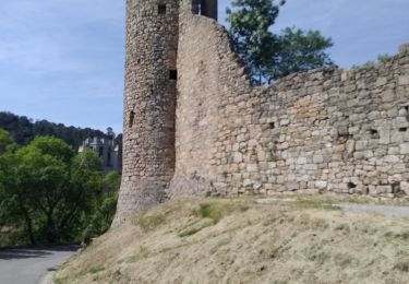
Trail Walking of 9 km to be discovered at Occitania, Aude, Ribaute. This trail is proposed by g.Bonnavenc.
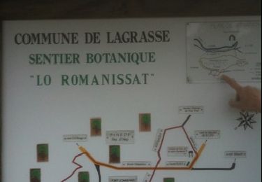
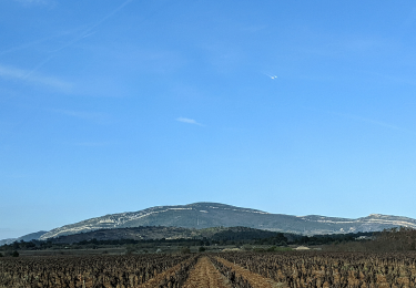
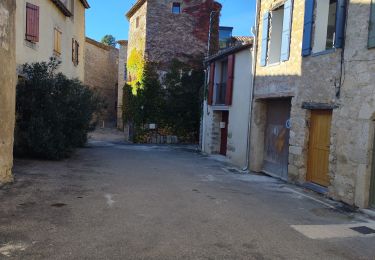
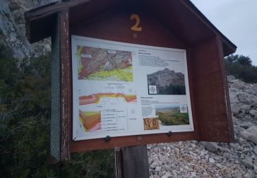
Randonnée facile de Ribaute à Lagrasse par le "Pied de Charlemagne, et retour par le GR36
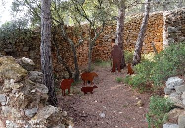
Walking

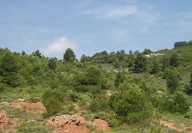
Walking
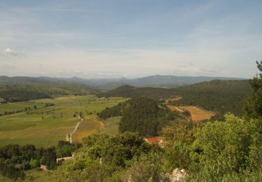
Walking
Walking
Walking
Walking
Walking