Trail Walking Tighedouine - Zat J4 - Photo
 lhomme.ph
lhomme.ph

User GUIDE

© OpenStreetMap contributors
Length
Length
15.8 km
Max alt
Max alt
2276 m
Uphill gradient
Uphill gradient
419 m
Km-Effort
Km-Effort  
24 km
Min alt
Min alt
1301 m
Downhill gradient
Downhill gradient
1330 m
Boucle
Boucle
No
Creation date :
2014-12-10 00:00:00.0
Updated on :
2014-12-10 00:00:00.0

(0 Reviews)

Walking
Walking
4h30
Difficulty : Medium

Scan this QR Code to open this trail in the SityTrail application

FREE GPS app for hiking

Logo SityTrail SityTrail

IGN / Geographical institutes

Download SityTrail from the App Store Download SityTrail from Google Play

Logo SityTrail SityTrail World

The world is yours!

Download SityTrail from the App Store Download SityTrail from Google Play Download SityTrail on Huawei AppGallery

About

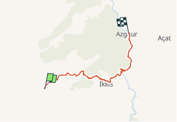
Trail Walking of 15.8 km to be discovered at Marrakech-Safi, cercle de Touama, Tighedouine. This trail is proposed by lhomme.ph.

Description

Plus d'info sur:
www.voyagestrekking.com

Elevation profile

Positioning

Country:
Morocco
Region :
Marrakech-Safi
Department/Province :
cercle de Touama
Municipality :
Tighedouine
Location:
Unknown
Start:(UTM)
637226 ; 3465469 (29R) N.

Trails nearby

Trail Walking Tighedouine - Zat J3.1 - Photo
Walking
GUIDE
lhomme.ph

Walking

Medium
Tighedouine, Marrakech-Safi, cercle de Touama, Morocco
9.5 km | 12.9 km-effort
2h 34min
No
Trail Trail Tighedouine - 1-yogour- chiker - Photo
Trail
Didier146

Trail

Very easy
Tighedouine, Marrakech-Safi, cercle de Touama, Morocco
35 km | 53 km-effort
Unknown
No


Close
My subscriptions