


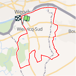

14.3 km | 15.2 km-effort


FREE GPS app for hiking
 SityTrail
IGN / Geographical institutes
SityTrail World
The world is yours!
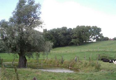
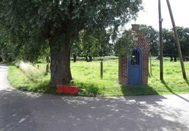
Trail Walking of 9.1 km to be discovered at Hauts-de-France, Nord, Wervicq-Sud. This trail is proposed by jacques.moulin@hotmail.com.
Les hauts et les bas de Wervik-Sud
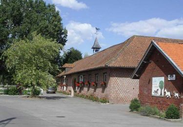
Walking

On foot
Walking

Mountain bike

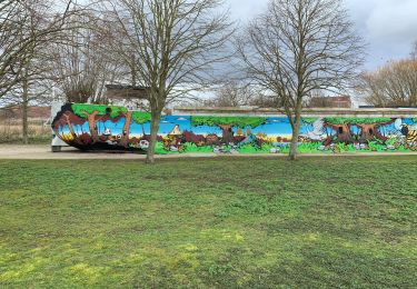
Walking

Walking
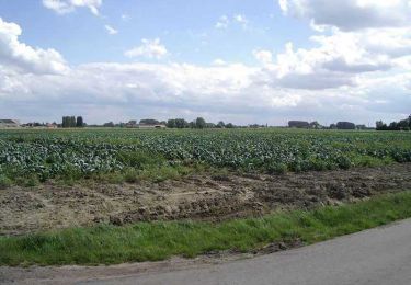
Walking
Walking
Cycle
sympa facile