


Col de Prayé

VacheKiri67
User
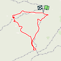

Length
16.8 km

Max alt
924 m

Uphill gradient
483 m
Km-Effort
23 km

Min alt
683 m

Downhill gradient
485 m
Boucle
Yes
Creation date :
2014-12-10 00:00:00.0
Updated on :
2014-12-10 00:00:00.0
6h55
Difficulty : Difficult

FREE GPS app for hiking
 SityTrail
IGN / Geographical institutes
SityTrail Plus
The world is yours!
About
Trail Walking of 16.8 km to be discovered at Grand Est, Vosges, Moussey. This trail is proposed by VacheKiri67.
Description
Distance 16,8km - Dénivelée 660m
Balisage : anneau bleu - disque rouge - triangle rouge - croix rouge.
Faite le 16/06/2013 en 6h55 (dont 1h00 de pause) avec notre fils de 8 ans, son Papy et sa Mamie.
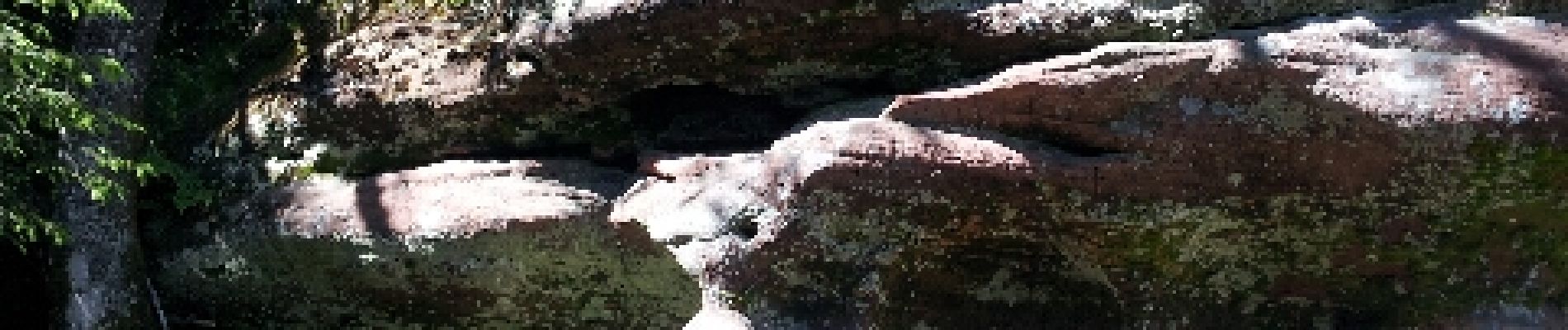
Photos


Positioning
Country:
France
Region :
Grand Est
Department/Province :
Vosges
Municipality :
Moussey
Location:
Unknown
Start:(Dec)
Start:(UTM)
360857 ; 5371199 (32U) N.
Comments
Un randonnée magnifique dans le massif des Blanches-Roches.