


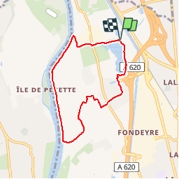

6.8 km | 7.2 km-effort

User


FREE GPS app for hiking
 SityTrail
IGN / Geographical institutes
SityTrail World
The world is yours!
Trail Walking of 7 km to be discovered at Occitania, Haute-Garonne, Toulouse. This trail is proposed by zazibelle.
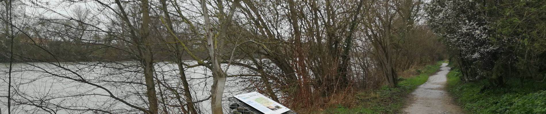
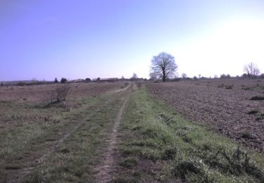
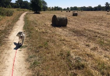
Du lac de Sesquières jusqu'aux rives de la Garonne, c'est la campagne à la ville.

Walking

Cycle

Walking

Walking

Walking
Walking

Cycle

Running

Running