


F26380 Peyrins bois des Vignes

ageo
User


Length
10.5 km

Max alt
422 m

Uphill gradient
256 m
Km-Effort
13.9 km

Min alt
209 m

Downhill gradient
253 m
Boucle
Yes
Creation date :
2018-05-05 06:41:42.259
Updated on :
2018-05-05 07:13:55.835
--
Difficulty : Very easy

FREE GPS app for hiking
 SityTrail
IGN / Geographical institutes
SityTrail Plus
The world is yours!
About
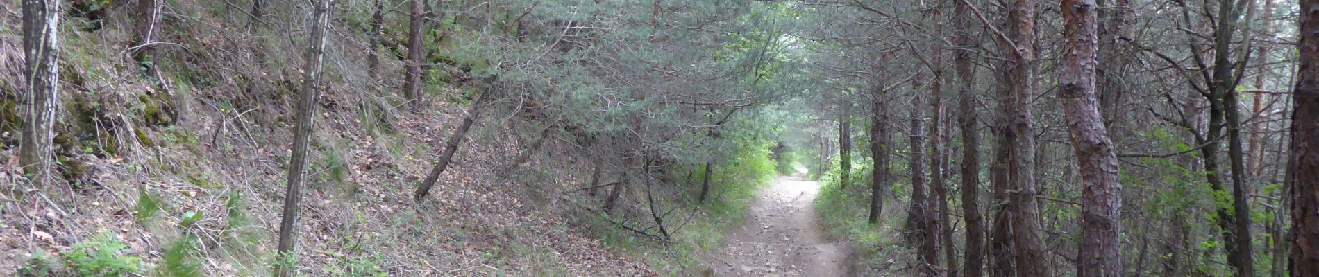
Trail Walking of 10.5 km to be discovered at Auvergne-Rhône-Alpes, Drôme, Génissieux. This trail is proposed by ageo.
Description
File with points/tracks from Locus Map/3.30.4
Photos

Positioning
Country:
France
Region :
Auvergne-Rhône-Alpes
Department/Province :
Drôme
Municipality :
Génissieux
Location:
Unknown
Start:(Dec)
Start:(UTM)
663072 ; 4995407 (31T) N.
Comments