Cunlhat_Chemin_Ronde_JG_02

jagarnier
User GUIDE
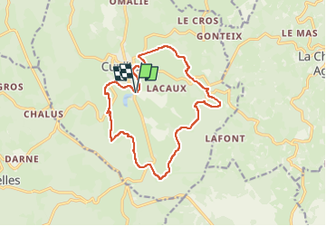

Length
14.9 km

Max alt
912 m

Uphill gradient
442 m
Km-Effort
21 km

Min alt
672 m

Downhill gradient
442 m
Boucle
Yes
Creation date :
2018-05-21 06:42:53.924
Updated on :
2025-05-27 08:25:50.992
4h45
Difficulty : Medium

FREE GPS app for hiking
 SityTrail
IGN / Geographical institutes
SityTrail Plus
The world is yours!
About
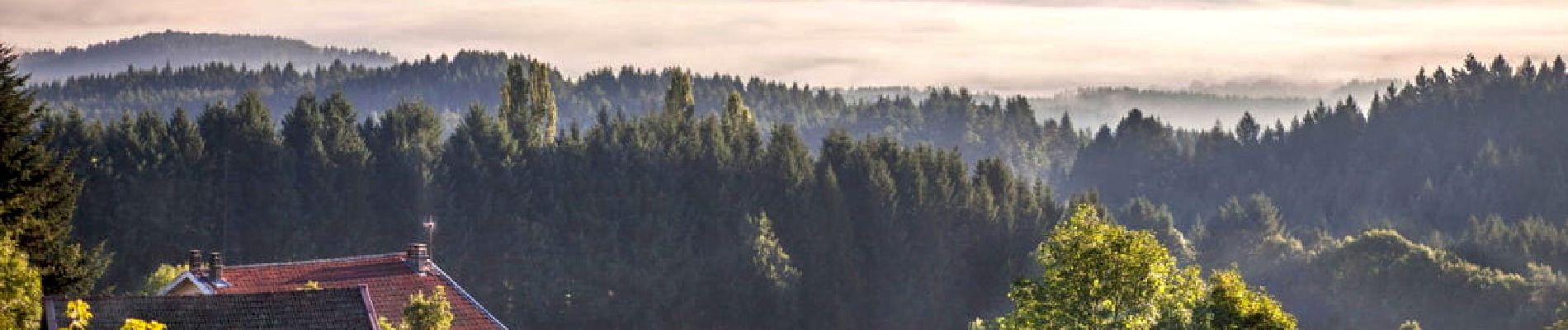
Trail Walking of 14.9 km to be discovered at Auvergne-Rhône-Alpes, Puy-de-Dôme, Cunlhat. This trail is proposed by jagarnier.
Photos

Positioning
Country:
France
Region :
Auvergne-Rhône-Alpes
Department/Province :
Puy-de-Dôme
Municipality :
Cunlhat
Location:
Unknown
Start:(Dec)
Start:(UTM)
543926 ; 5052546 (31T) N.
Comments