Circuit

jagarnier
User GUIDE
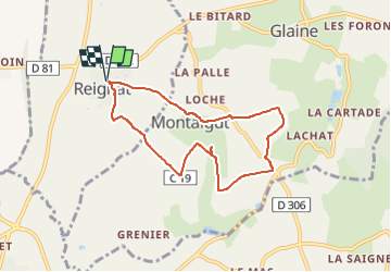


2h00
Difficulty : Medium

FREE GPS app for hiking
 SityTrail
IGN / Geographical institutes
SityTrail Plus
The world is yours!
About
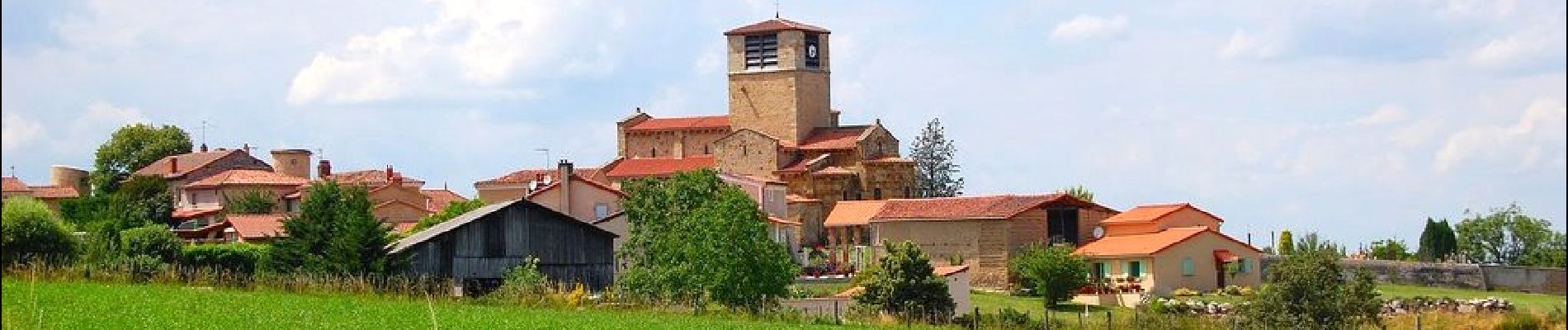
Trail Walking of 7 km to be discovered at Auvergne-Rhône-Alpes, Puy-de-Dôme, Reignat. This trail is proposed by jagarnier.
Description
Une randonnée qui vaut par la beauté architecturale, les murs d’arkoses blondes et les tuiles rouges du fort villageois de Reignat.
En haut de la colline des Froments, vous aurez une vue panoramique sur la chaîne des Puys, le Livradois-Forez et les monts du Sancy.
Photos

Positioning
Comments