


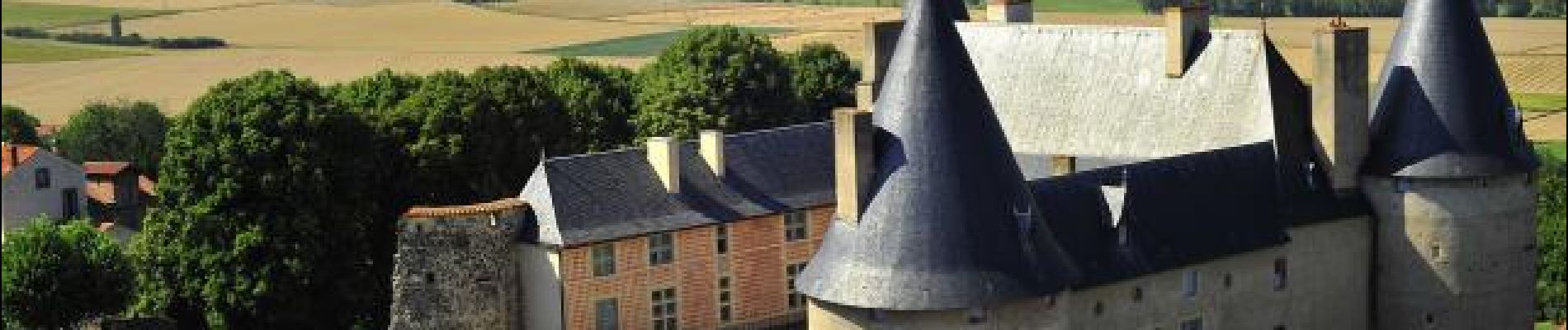
Mareugheol_Chaux_Jaby_JG_03

jagarnier
User GUIDE
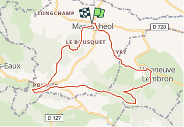


3h00
Difficulty : Medium

FREE GPS app for hiking
 SityTrail
IGN / Geographical institutes
SityTrail Plus
The world is yours!
About
Trail Walking of 9.9 km to be discovered at Auvergne-Rhône-Alpes, Puy-de-Dôme, Mareugheol. This trail is proposed by jagarnier.
Description
Une randonnée remarquable pour le patrimoine bâti de Mareugheol, l’un des plus beaux forts villageois d'Auvergne.
La diversité des milieux et des paysages, les nombreuses empreintes de l'histoire, le renouveau de la vigne, font de cette randonnée un moment étonnant au pays des Chaux et des Couzes.
Photos

Positioning
Comments