


Ludesse_Monne_Liauzun_JG_02

jagarnier
User GUIDE

Length
12.4 km

Max alt
821 m

Uphill gradient
329 m
Km-Effort
16.8 km

Min alt
517 m

Downhill gradient
330 m
Boucle
Yes
Creation date :
2018-05-30 12:53:02.63
Updated on :
2025-04-25 06:23:10.344
3h45
Difficulty : Medium

FREE GPS app for hiking
 SityTrail
IGN / Geographical institutes
SityTrail Plus
The world is yours!
About
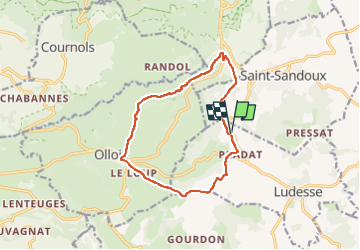
Trail Walking of 12.4 km to be discovered at Auvergne-Rhône-Alpes, Puy-de-Dôme, Ludesse. This trail is proposed by jagarnier.
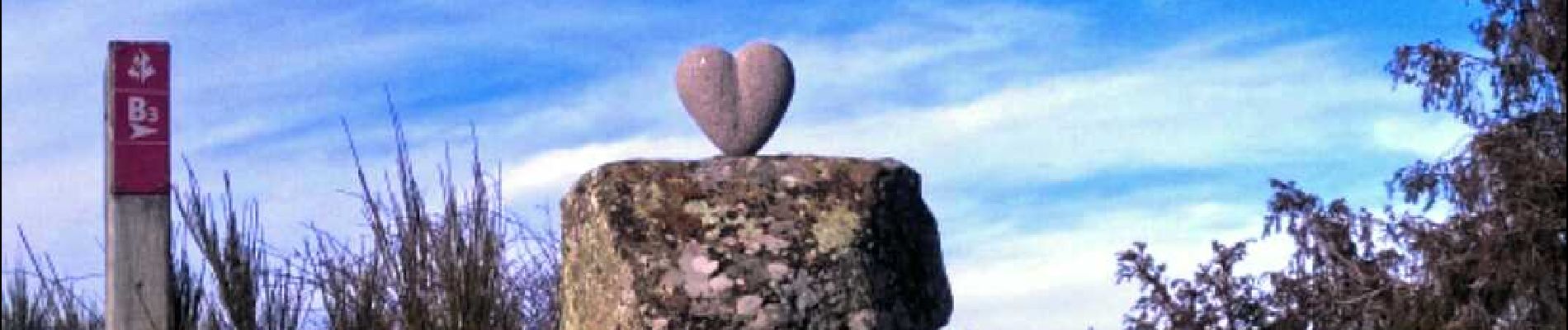
Photos

Positioning
Country:
France
Region :
Auvergne-Rhône-Alpes
Department/Province :
Puy-de-Dôme
Municipality :
Ludesse
Location:
Unknown
Start:(Dec)
Start:(UTM)
506873 ; 5052533 (31T) N.
Comments