


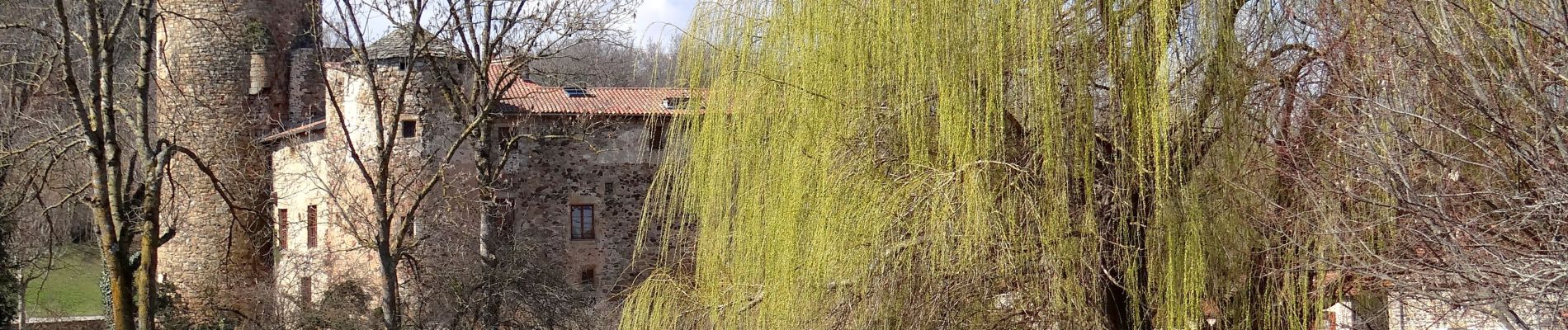
Vichel_St_Gervazy_JG_03

jagarnier
User GUIDE
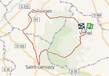


2h45
Difficulty : Medium

FREE GPS app for hiking
 SityTrail
IGN / Geographical institutes
SityTrail Plus
The world is yours!
About
Trail Walking of 9.4 km to be discovered at Auvergne-Rhône-Alpes, Puy-de-Dôme, Vichel. This trail is proposed by jagarnier.
Description
Tout au long de cette boucle, vous trouverez des anciens villages vignerons portant les traces d'un moyen age fortifié, des champs de terre rouge et la chaux de Montcelet avec sa tour sentinelle dans un décor de savane.
Photos

Positioning
Comments