


sortie vtt du 03062018 rando pierre percée

fabwin
User GUIDE
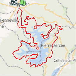

Length
45 km

Max alt
493 m

Uphill gradient
895 m
Km-Effort
57 km

Min alt
311 m

Downhill gradient
896 m
Boucle
Yes
Creation date :
2018-06-03 06:38:36.007
Updated on :
2018-06-03 14:22:10.972
2h30
Difficulty : Medium

FREE GPS app for hiking
 SityTrail
IGN / Geographical institutes
SityTrail Plus
The world is yours!
About
Trail Mountain bike of 45 km to be discovered at Grand Est, Meurthe-et-Moselle, Badonviller. This trail is proposed by fabwin.
Description
35 km
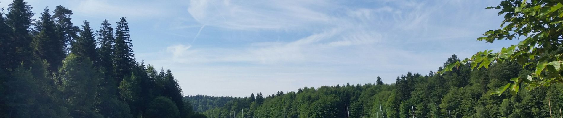
Photos


Positioning
Country:
France
Region :
Grand Est
Department/Province :
Meurthe-et-Moselle
Municipality :
Badonviller
Location:
Unknown
Start:(Dec)
Start:(UTM)
344329 ; 5373618 (32U) N.
Comments