


8822546-L'Hermitière 19.78

togolo28
User

Length
19.9 km

Max alt
206 m

Uphill gradient
396 m
Km-Effort
25 km

Min alt
110 m

Downhill gradient
396 m
Boucle
Yes
Creation date :
2018-06-25 12:22:55.599
Updated on :
2020-02-24 16:17:32.651
5h24
Difficulty : Medium

FREE GPS app for hiking
 SityTrail
IGN / Geographical institutes
SityTrail Plus
The world is yours!
About
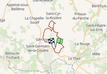
Trail Walking of 19.9 km to be discovered at Normandy, Orne, Val-au-Perche. This trail is proposed by togolo28.
Positioning
Country:
France
Region :
Normandy
Department/Province :
Orne
Municipality :
Val-au-Perche
Location:
Unknown
Start:(Dec)
Start:(UTM)
325257 ; 5350275 (31U) N.
Comments