


7.3 km | 9.7 km-effort

User


FREE GPS app for hiking
 SityTrail
IGN / Geographical institutes
SityTrail World
The world is yours!
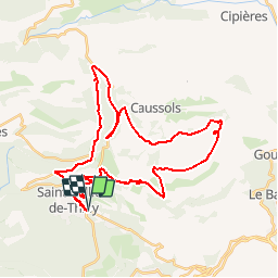
Trail Mountain bike of 42 km to be discovered at Provence-Alpes-Côte d'Azur, Maritime Alps, Saint-Vallier-de-Thiey. This trail is proposed by toofastt.
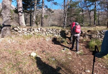
Belle randonnée au départ du village permettant de rejoindre le pas de la Faye, le domaine de la Malle puis le col du Clapier et le haut Montet (côté Caussols), et enfin les hameaux de Canaux et Nans.
C'est une randonnée difficile dans la mesure où il faut prévoir un peu de portage, notamment après la Malle.
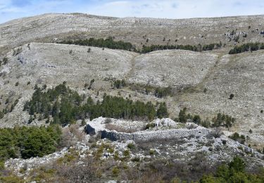
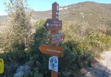
On pourra faire le plein d'eau au niveau du parking chemin des Claps à Caussols (photo).
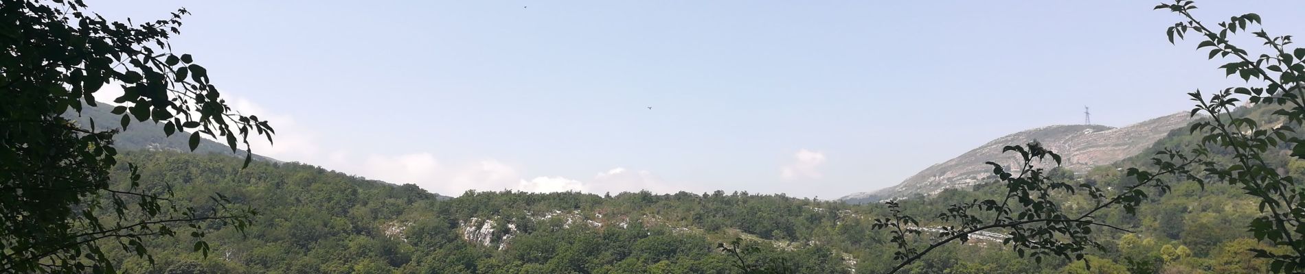
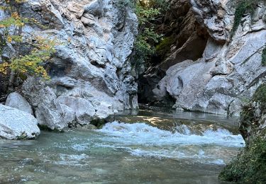
Les paysages sont sublimes en remontant au dessus de la Malle et près de la tour de contrôle de l'aviation civile.
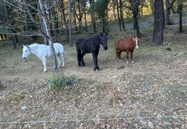
 - Photo 1")
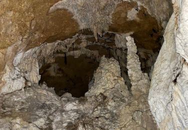
 - Photo 2")
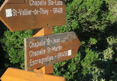
 - Photo 3")
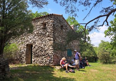
 - Photo 4")

Walking
Walking
Walking
Walking
Walking
Walking
Walking
Walking
Walking