


Autour du Lac des Corbeaux

Alfredy
User GUIDE
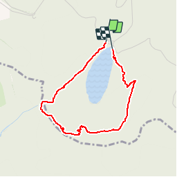

Length
3.1 km

Max alt
1121 m

Uphill gradient
220 m
Km-Effort
6 km

Min alt
894 m

Downhill gradient
222 m
Boucle
Yes
Creation date :
2018-07-08 10:07:11.973
Updated on :
2018-07-14 11:33:29.474
1h30
Difficulty : Medium

FREE GPS app for hiking
 SityTrail
IGN / Geographical institutes
SityTrail Plus
The world is yours!
About
Trail Walking of 3.1 km to be discovered at Grand Est, Vosges, La Bresse. This trail is proposed by Alfredy.
Description
Belle rando avec une montée difficile au début puis passage agréable en forêt et au milieu vue du lac depuis le rocher des corbeaux avec un petit passage technique ou il ne faut pas avoir peur du vide...
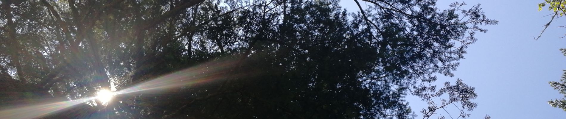
Photos


Positioning
Country:
France
Region :
Grand Est
Department/Province :
Vosges
Municipality :
La Bresse
Location:
Unknown
Start:(Dec)
Start:(UTM)
343729 ; 5317728 (32T) N.
Comments
Cool