Paslieres_Montpeyroux_Pas_Loup

jagarnier
User GUIDE
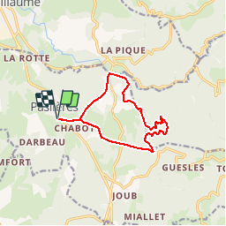

Length
12.3 km

Max alt
539 m

Uphill gradient
318 m
Km-Effort
16.6 km

Min alt
313 m

Downhill gradient
319 m
Boucle
Yes
Creation date :
2018-07-11 12:46:11.246
Updated on :
2025-05-10 07:27:55.378
3h30
Difficulty : Medium

FREE GPS app for hiking
 SityTrail
IGN / Geographical institutes
SityTrail Plus
The world is yours!
About
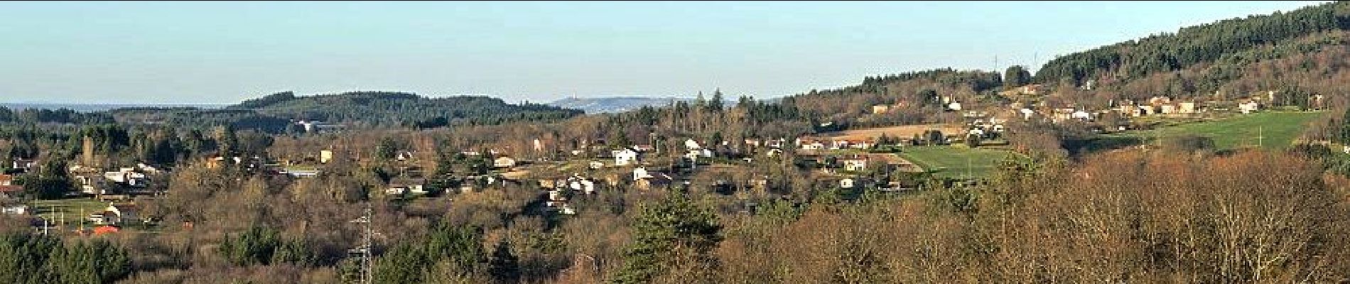
Trail Walking of 12.3 km to be discovered at Auvergne-Rhône-Alpes, Puy-de-Dôme, Paslières. This trail is proposed by jagarnier.
Photos

Positioning
Country:
France
Region :
Auvergne-Rhône-Alpes
Department/Province :
Puy-de-Dôme
Municipality :
Paslières
Location:
Unknown
Start:(Dec)
Start:(UTM)
538598 ; 5086175 (31T) N.
Comments