


Fontclairant_Cheires_3

jagarnier
User GUIDE
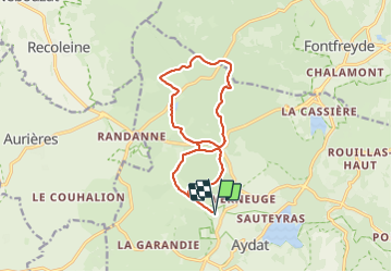


4h00
Difficulty : Medium

FREE GPS app for hiking
 SityTrail
IGN / Geographical institutes
SityTrail Plus
The world is yours!
About
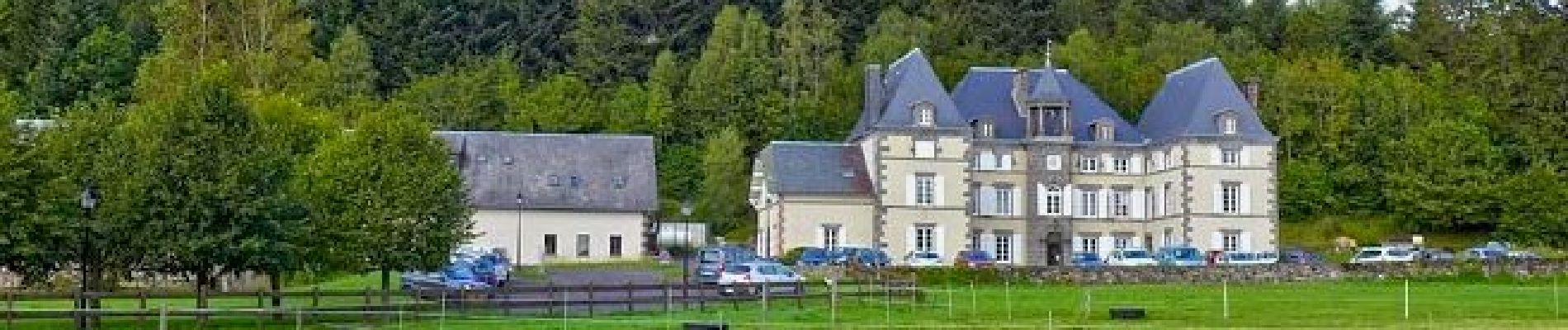
Trail Walking of 13.6 km to be discovered at Auvergne-Rhône-Alpes, Puy-de-Dôme, Aydat. This trail is proposed by jagarnier.
Description
Autour des puys de Vichatel et de Charmont, au pied d'un des plus célèbres volcans de la Chaîne des Puys, le puy de la Vache, vous observerez divers phénomènes liés aux cheires volcaniques au travers de la végétation, des carrières de basalte, des étangs et de magnifiques vues.
Photos

Positioning
Comments