


20180109111432-G4Tqb

holtzv
User GUIDE
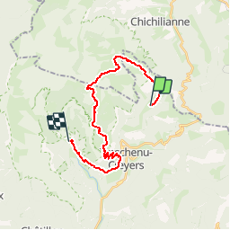

Length
22 km

Max alt
1846 m

Uphill gradient
667 m
Km-Effort
33 km

Min alt
742 m

Downhill gradient
1276 m
Boucle
No
Creation date :
2018-07-16 19:56:08.107
Updated on :
2018-07-25 08:51:08.166
6h30
Difficulty : Very difficult

FREE GPS app for hiking
 SityTrail
IGN / Geographical institutes
SityTrail Plus
The world is yours!
About
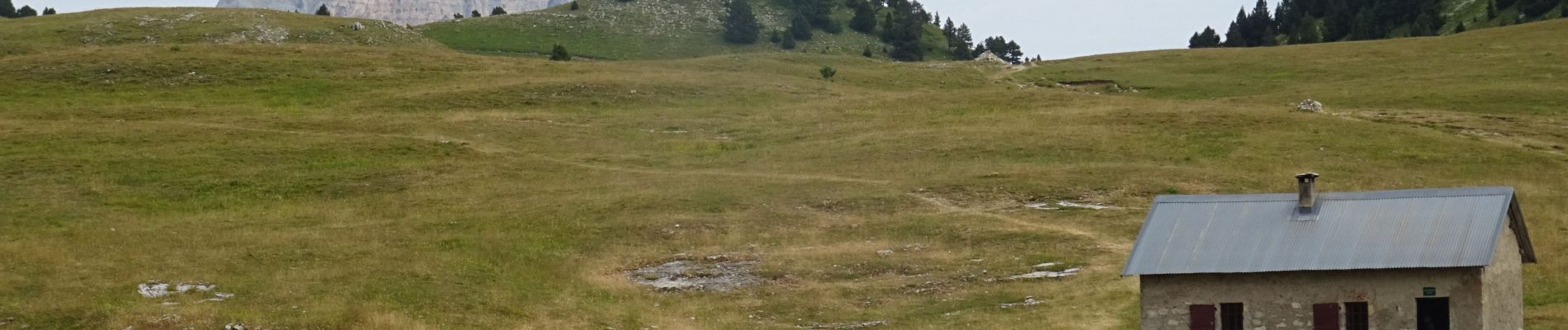
Trail Walking of 22 km to be discovered at Auvergne-Rhône-Alpes, Drôme, Châtillon-en-Diois. This trail is proposed by holtzv.
Description
De Grange de Rachier à Archianne_22km_570mPos_1180mNeg
Photos

Positioning
Country:
France
Region :
Auvergne-Rhône-Alpes
Department/Province :
Drôme
Municipality :
Châtillon-en-Diois
Location:
Treschenu-Creyers
Start:(Dec)
Start:(UTM)
703098 ; 4960117 (31T) N.
Comments