


20180109144250-E1WDp

holtzv
User GUIDE
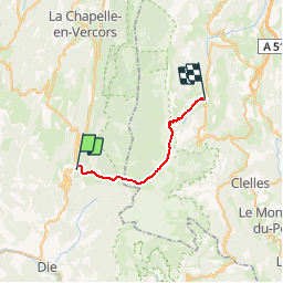

Length
22 km

Max alt
2328 m

Uphill gradient
1349 m
Km-Effort
40 km

Min alt
1187 m

Downhill gradient
1402 m
Boucle
No
Creation date :
2018-07-16 19:59:24.764
Updated on :
2018-07-25 08:56:33.145
7h58
Difficulty : Very difficult

FREE GPS app for hiking
 SityTrail
IGN / Geographical institutes
SityTrail Plus
The world is yours!
About
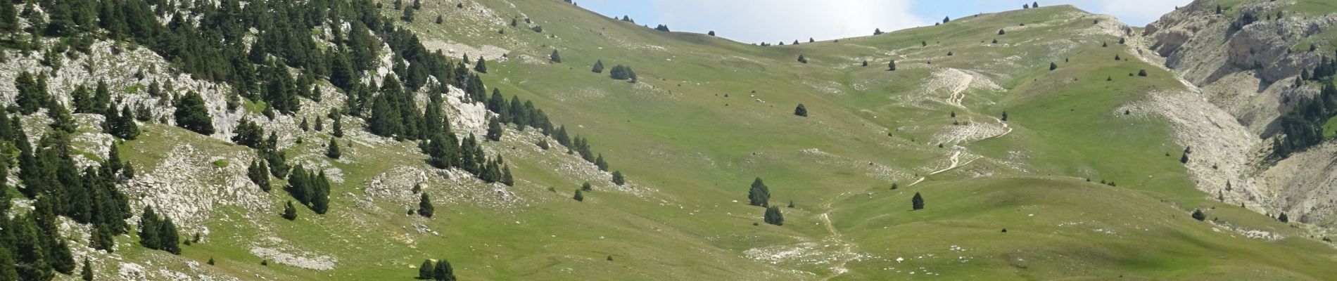
Trail Walking of 22 km to be discovered at Auvergne-Rhône-Alpes, Drôme, Saint-Agnan-en-Vercors. This trail is proposed by holtzv.
Description
De Col du Rousset à Gresse_22km_1250mPos_1310mNeg
Photos

Positioning
Country:
France
Region :
Auvergne-Rhône-Alpes
Department/Province :
Drôme
Municipality :
Saint-Agnan-en-Vercors
Location:
Unknown
Start:(Dec)
Start:(UTM)
690184 ; 4968015 (31T) N.
Comments