Trail Walking Volvic - Volvic_Cratere_Egaules - Photo
 jagarnier
jagarnier

User GUIDE

© OpenStreetMap contributors
Length
Length
8.5 km
Max alt
Max alt
847 m
Uphill gradient
Uphill gradient
155 m
Km-Effort
Km-Effort  
10.6 km
Min alt
Min alt
725 m
Downhill gradient
Downhill gradient
155 m
Boucle
Boucle
Yes
Creation date :
2018-07-27 16:37:30.499
Updated on :
2023-03-10 07:14:24.311

(0 Reviews)

Walking
Walking
2h30
Difficulty : Easy

Scan this QR Code to open this trail in the SityTrail application

FREE GPS app for hiking

Logo SityTrail SityTrail

IGN / Geographical institutes

Download SityTrail from the App Store Download SityTrail from Google Play

Logo SityTrail SityTrail Plus

The world is yours!

Download SityTrail from the App Store Download SityTrail from Google Play Download SityTrail on Huawei AppGallery

About

Trail Walking of 8.5 km to be discovered at Auvergne-Rhône-Alpes, Puy-de-Dôme, Volvic. This trail is proposed by jagarnier.

Description

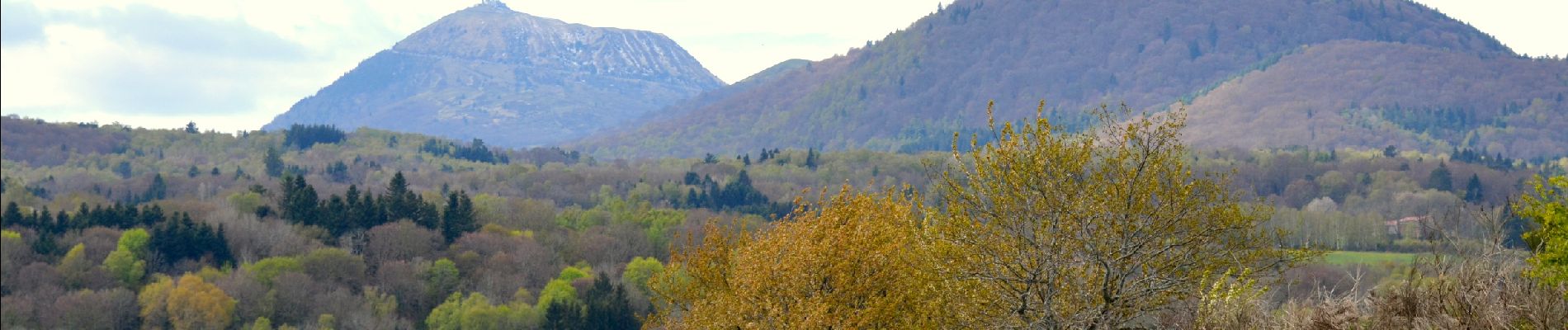
Cette randonnée est prêt du village de Volvic, en bordure de la faille de Limagne, aux pieds des volcans de la chaîne des Puys.
Cette zone de moyenne montagne (800 m) offre des vues sur les volcans (Jumes, Coquille,...) et les riches cultures la Limagne.

Elevation profile

Photos

Positioning

Country:
France
Region :
Auvergne-Rhône-Alpes
Department/Province :
Puy-de-Dôme
Municipality :
Volvic
Location:
Unknown
Start:(UTM)
500528 ; 5078243 (31T) N.


Close
My subscriptions