


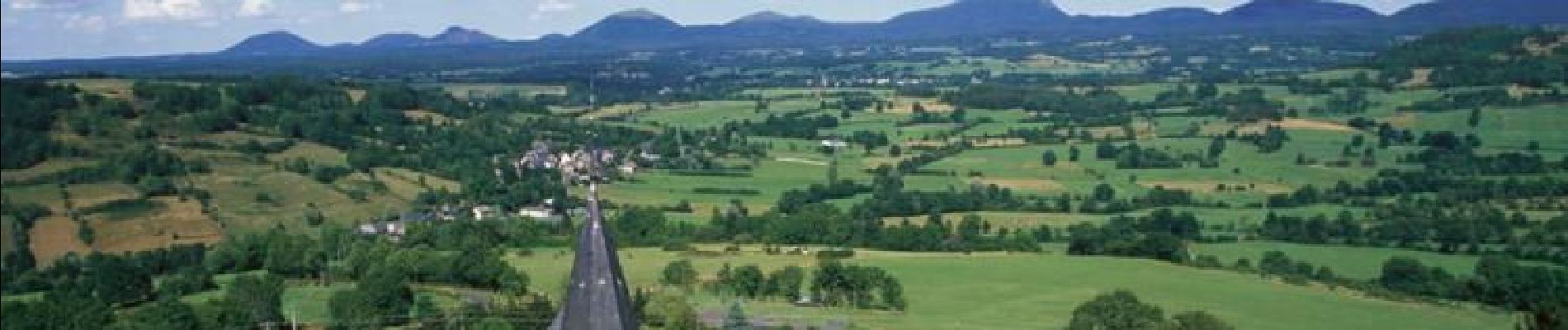
St_Pierre_Roche_Villages

jagarnier
User GUIDE


3h45
Difficulty : Medium

FREE GPS app for hiking
 SityTrail
IGN / Geographical institutes
SityTrail Plus
The world is yours!
About
Trail Walking of 12.4 km to be discovered at Auvergne-Rhône-Alpes, Puy-de-Dôme, Saint-Pierre-Roche. This trail is proposed by jagarnier.
Description
Depuis le calvaire d'un village typique du Puy-de-Dôme, le parcours offre des paysages variés et de belles vues sur le massif du Sancy - Les roches Tuilière et Sanadoire, la banne d'Ordanches, sans oublier la Chaîne des Puys et les Combrailles.
Photos

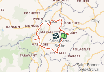
Positioning
Comments