


Aydat_Combegrasse_Espinasse

jagarnier
User GUIDE
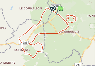


3h15
Difficulty : Medium

FREE GPS app for hiking
 SityTrail
IGN / Geographical institutes
SityTrail Plus
The world is yours!
About
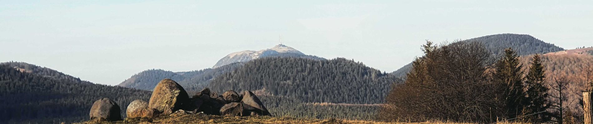
Trail Walking of 11.2 km to be discovered at Auvergne-Rhône-Alpes, Puy-de-Dôme, Aydat. This trail is proposed by jagarnier.
Description
Cette randonnée pédagogique conduit du puy de Combegrasse, volcan égueulé de type strombolien. ensuite au puy de l’Enfer, dont la carrière de pouzzolane permet de voir du cœur d’un volcan. Vous traverserez la narse d’Espinasse, tourbière installée dans un cratère d’explosion.
Photos

Positioning
Comments