


Beaumont_Ceyrat

jagarnier
User GUIDE
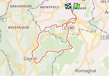


2h30
Difficulty : Easy

FREE GPS app for hiking
 SityTrail
IGN / Geographical institutes
SityTrail Plus
The world is yours!
About
Trail Walking of 7.9 km to be discovered at Auvergne-Rhône-Alpes, Puy-de-Dôme, Beaumont. This trail is proposed by jagarnier.
Description
Dominant au nord, le bourg de Romagnat et la vallée de la Gazelle, le puy de Chomontel surmonté de sa croix offre une vue circulaire agréable sur la ville, la Limagne, les flancs du mont Rognon à l’est et ceux du plateau de Gergovie au sud.
Le site, était autrefois dédié à la culture de la vigne. Sa gestion actuelle par le pâturage permet le retour d’ une flore typique des coteaux secs avec notamment tout un cortège d’orchidées.
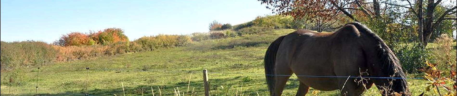
Photos

Positioning
Comments