


Joze_Bord_Allier

jagarnier
User GUIDE
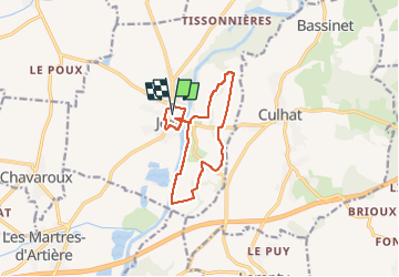

Length
11.6 km

Max alt
317 m

Uphill gradient
74 m
Km-Effort
12.6 km

Min alt
290 m

Downhill gradient
74 m
Boucle
Yes
Creation date :
2018-08-14 05:55:58.468
Updated on :
2024-06-07 07:38:09.65
3h30
Difficulty : Easy

FREE GPS app for hiking
 SityTrail
IGN / Geographical institutes
SityTrail Plus
The world is yours!
About
Trail Walking of 11.6 km to be discovered at Auvergne-Rhône-Alpes, Puy-de-Dôme, Joze. This trail is proposed by jagarnier.
Description
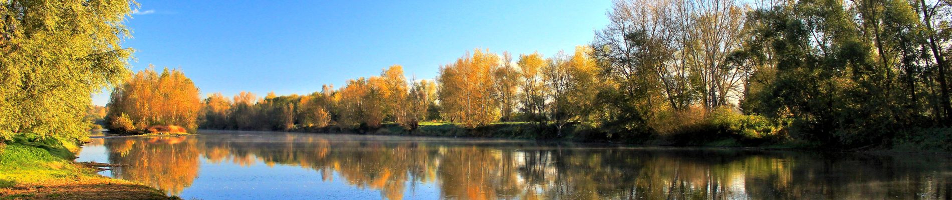
A travers cette balade, vous longerez les bords de l’Allier et découvrirez la source minérale gazeuse de l’Ours.
Photos

Positioning
Country:
France
Region :
Auvergne-Rhône-Alpes
Department/Province :
Puy-de-Dôme
Municipality :
Joze
Location:
Unknown
Start:(Dec)
Start:(UTM)
523526 ; 5078910 (31T) N.
Comments
jolie randonnée avec une première partie long de l' Allier. des vues superbes sur le Forez. Dommage que les humains soient si sales ( dépôts sauvages)