


La vallée du Surmelin

fitz2014
User

Length
10.6 km

Max alt
134 m

Uphill gradient
143 m
Km-Effort
12.5 km

Min alt
71 m

Downhill gradient
143 m
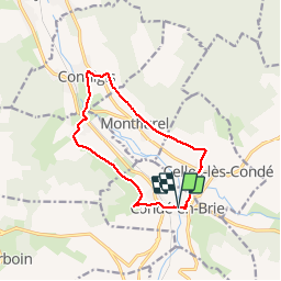
Boucle
Yes
Creation date :
2018-08-15 16:22:27.228
Updated on :
2018-08-15 18:45:10.895
2h21
Difficulty : Easy

FREE GPS app for hiking
 SityTrail
IGN / Geographical institutes
SityTrail Plus
The world is yours!
About
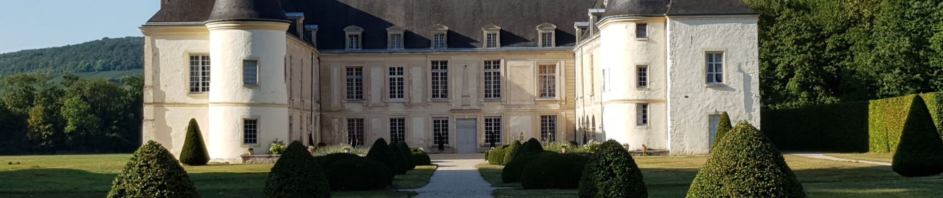
Trail Walking of 10.6 km to be discovered at Hauts-de-France, Aisne, Condé-en-Brie. This trail is proposed by fitz2014.
Photos


Positioning
Country:
France
Region :
Hauts-de-France
Department/Province :
Aisne
Municipality :
Condé-en-Brie
Location:
Unknown
Start:(Dec)
Start:(UTM)
540975 ; 5428142 (31U) N.
Comments