


Béthancourt en valois

fitz2014
User
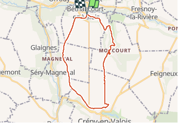

Length
13.6 km

Max alt
126 m

Uphill gradient
160 m
Km-Effort
15.8 km

Min alt
56 m

Downhill gradient
161 m
Boucle
Yes
Creation date :
2018-08-17 15:48:47.72
Updated on :
2018-08-17 18:49:40.604
2h59
Difficulty : Medium

FREE GPS app for hiking
 SityTrail
IGN / Geographical institutes
SityTrail Plus
The world is yours!
About
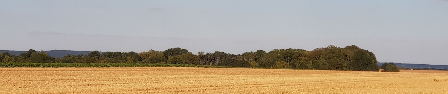
Trail Walking of 13.6 km to be discovered at Hauts-de-France, Oise, Béthancourt-en-Valois. This trail is proposed by fitz2014.
Photos


Positioning
Country:
France
Region :
Hauts-de-France
Department/Province :
Oise
Municipality :
Béthancourt-en-Valois
Location:
Unknown
Start:(Dec)
Start:(UTM)
491132 ; 5459111 (31U) N.
Comments